Transport Functions
Rail
Road
Hub Profile
Region
VI
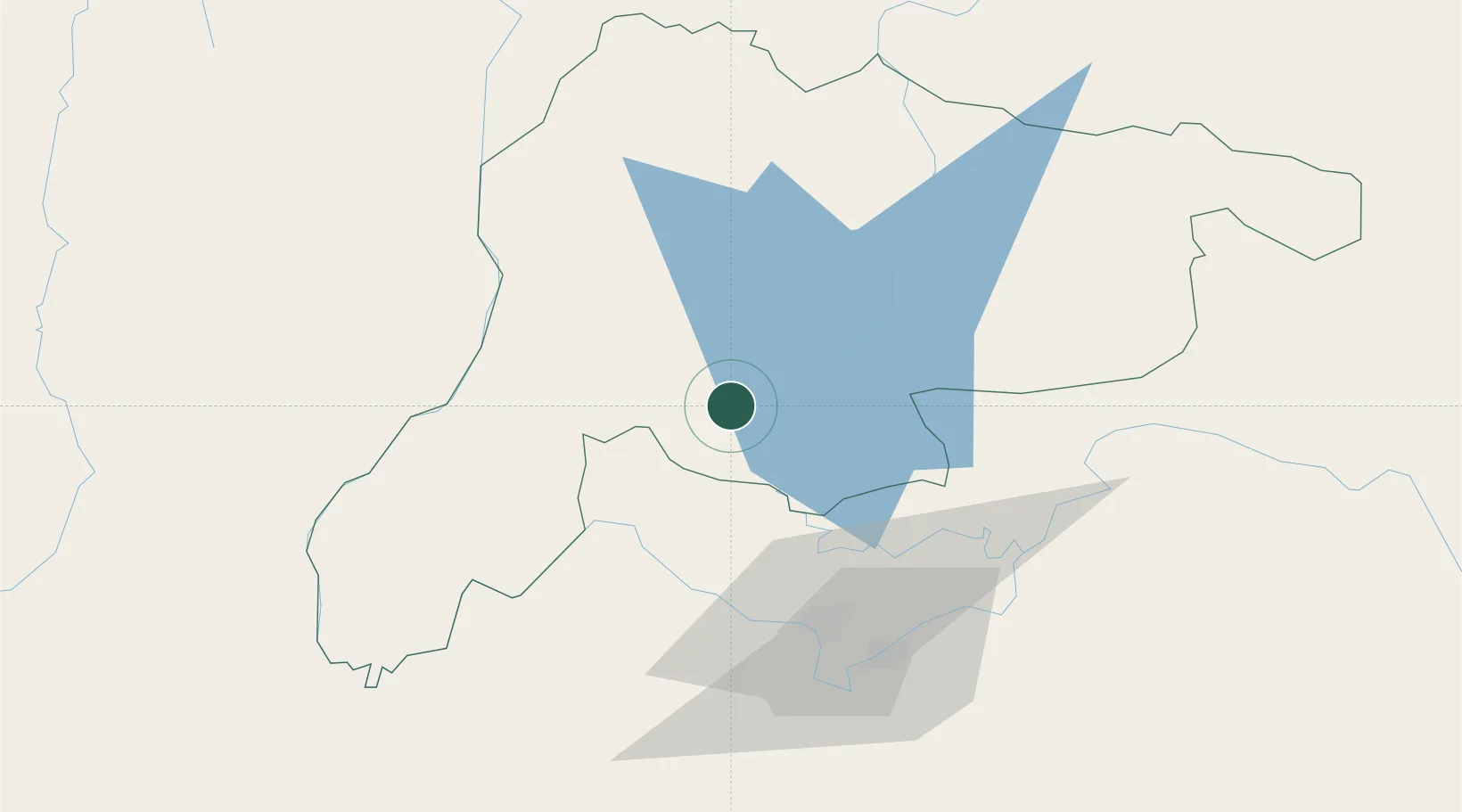
Location
Nearby Logistics Neighbours
Cities
- 1Vangrieng48 km
- 2Vientiane60 km
- 3Thanaleng71 km
- 4Luang Prabang157 km
- 5Khon Kaen233 km
Airports
- 1Wattay International Airport58 km
- 2Udon Thani International Airport129 km
- 3Xieng Khouang Airport134 km
- 4Loei Airport137 km
- 5Luang Phabang International Airport160 km
DatabookThe Record of Consolidated Knowledge
Laos beyond logistics?