Medium airport · Thailand

Sakon Nakhon AirportVTUI
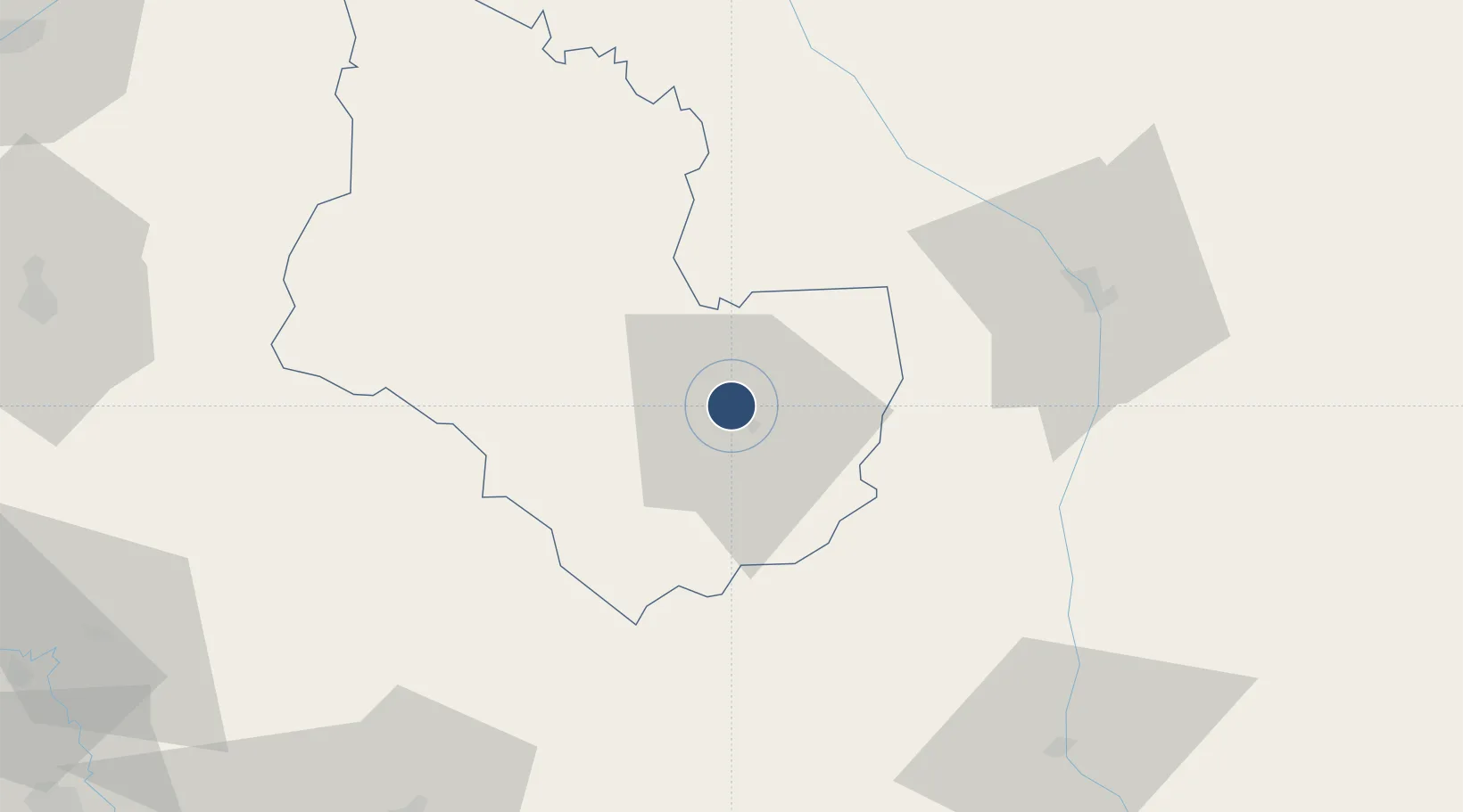
17.1951°, 104.1190°
8,530 ft
Longest runway
1
Runways
529 ft
Elevation

Runway & Layout

Sakon Nakhon Airport runway & taxiway layout
Runway & taxiway layout — OpenStreetMap (ODbL) / OurAirports

Radio Frequencies

ATIS
36.5 MHz
TWR
119.65 MHz
APP
123.35 MHz
OurAirports

Navaids

SKN VOR-DME Sakon Nakhon 114.20 MHz
SN NDB Sakon Nakhon 365 kHz
OurAirports

Runways · 1

RunwayDimensions SurfaceTrue headingLit
05/23 8,530 × 148ft Asphalt 045°
OurAirports

Airport Specifications

IATA code
SNO
OurAirports
ICAO code
VTUI
OurAirports
Airport class
Medium airport
OurAirports
Scheduled service
Yes
OurAirports
Runway surface
Asphalt
OurAirports

Location

Location of VTUI
Natural Earth 10m (public domain) · Sakon Nakhon · VTUI · 17.20, 104.12GoogleOSMYandex

Nearby Logistics Neighbours

Airports
  1. 1Nakhon Phanom Airport60 km
  2. 2Savannakhet Airport99 km
  3. 3Roi Et Airport125 km
  4. 4Udon Thani International Airport143 km
  5. 5Khon Kaen Airport164 km
Nearest neighbours — logibook spatial index (haversine) over the source coordinates
Cities
  1. 1Thakhek73 km
  2. 2Savannakhét97 km
  3. 3Khon Kaen161 km
  4. 4Thanaleng170 km
  5. 5Vientiane187 km
Nearest neighbours — logibook spatial index (haversine) over the source coordinates
Ports
  1. 1Nghe Tinh247 km
  2. 2Da Nang453 km
  3. 3Hai Phong494 km
  4. 4Hon Gai520 km
  5. 5Basuo520 km
Nearest neighbours — logibook spatial index (haversine) over the source coordinates
Trade Zones
  1. 1Thakhek Specific Economic Zone74 km
  2. 2Phoukhyo Specific Economic Zone76 km
  3. 3Mukdahan Special Economic Zone95 km
  4. 4Savan-Seno Special Economic Zone95 km
  5. 5Nong Khai Special Economic Zone165 km
Nearest neighbours — logibook spatial index (haversine) over the source coordinates
DatabookThe Record of Consolidated Knowledge
Thailand beyond logistics?
Browse databook

All Sources

AirportsOurAirports
Public domain
Portsthe NGA World Port Index
Public domain (US gov)
LocationsUN/LOCODE
UN/LOCODE — free
Trade Zonesthe World Bank SEZ database
CC BY 4.0
Trade ZonesOpen Zone Map
CC BY
InfrastructureOpenStreetMap
ODbL 1.0
← Thailand airports