Small airport · Laos

Xieng Khouang AirportVLXK
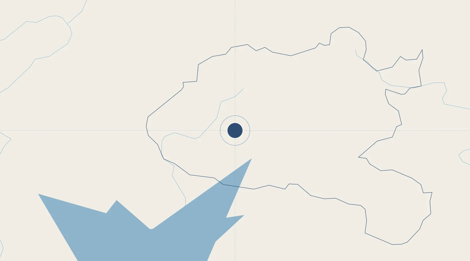
19.4500°, 103.1580°
8,555 ft
Longest runway
1
Runways
3,445 ft
Elevation

Runway & Layout

Xieng Khouang Airport runway & taxiway layout
Runway & taxiway layout — OpenStreetMap (ODbL) / OurAirports

Runways · 1

RunwayDimensions SurfaceTrue headingLit
07/25 8,555 × 130ft Asphalt 072°
OurAirports

Airport Specifications

IATA code
XKH
OurAirports
ICAO code
VLXK
OurAirports
Airport class
Small airport
OurAirports
Scheduled service
Yes
OurAirports
Runway surface
Asphalt
OurAirports
Served city
Xieng Khouang
OurAirports

Location

Location of VLXK
Natural Earth 10m (public domain) · Xiangkhoang · VLXK · 19.45, 103.16GoogleOSMYandex

Nearby Logistics Neighbours

Airports
  1. 1Luang Phabang International Airport115 km
  2. 2Sam Neua Airport144 km
  3. 3Wattay International Airport174 km
  4. 4Oudomsay Airport183 km
  5. 5Dien Bien Phu Airport217 km
Nearest neighbours — logibook spatial index (haversine) over the source coordinates
Cities
  1. 1Vangrieng97 km
  2. 2Luang Prabang111 km
  3. 3Phonhong134 km
  4. 4B12 Oil Terminal167 km
  5. 5Vientiane177 km
Nearest neighbours — logibook spatial index (haversine) over the source coordinates
Ports
  1. 1Nghe Tinh284 km
  2. 2Hai Phong402 km
  3. 3Hon Gai441 km
  4. 4Cam Pha473 km
  5. 5Basuo574 km
Nearest neighbours — logibook spatial index (haversine) over the source coordinates
Trade Zones
  1. 1Mp Dinh Vu Industrial Zone124 km
  2. 2Vientiane Industrial And Trade Area (Vita Park)161 km
  3. 3Thatluang Lake Specific Economic Zone174 km
  4. 4Saysetha Development Zone175 km
  5. 5Longthanh- Vientiane Specific Economic Zone179 km
Nearest neighbours — logibook spatial index (haversine) over the source coordinates
DatabookThe Record of Consolidated Knowledge
Laos beyond logistics?
Browse databook

All Sources

AirportsOurAirports
Public domain
Portsthe NGA World Port Index
Public domain (US gov)
LocationsUN/LOCODE
UN/LOCODE — free
Trade Zonesthe World Bank SEZ database
CC BY 4.0
Trade ZonesOpen Zone Map
CC BY
InfrastructureOpenStreetMap
ODbL 1.0
← Laos airports