Export Processing Zone · Kenya

Ahti River Export Processing Zone Active
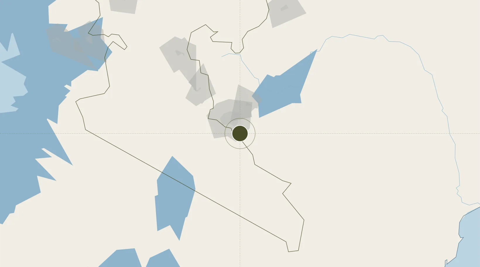
-1.4685°, 36.9728°
339 ha
Zone area
401.3 km
Nearest port
17.4 km
Nearest airport

Gateway access

Nearest neighbours — logibook spatial index (haversine) over the source coordinates

Zone profile

Zone type
Export Processing Zone
the World Bank SEZ database
Region
Rift Valley
the World Bank SEZ database
Status
Active
the World Bank SEZ database
Established
1993
the World Bank SEZ database
Management
PPP
the World Bank SEZ database
Operator
Kenya Export Processing Zone Authority, Trans fleet EPZ Ltd, and Capital Industrial Park EPZ Ltd
the World Bank SEZ database
Regulatory authority
Export Processing Zone Authority
the World Bank SEZ database
Legal framework
Export Processing Zone Act CAP 517
the World Bank SEZ database

Location

Location of KEN1
Natural Earth 10m (public domain) · Rift Valley · KEN1 · -1.47, 36.97GoogleOSMYandex

Fiscal & incentives

Corporate tax
30%
the World Bank SEZ database
Tax relief
100% exempt
the World Bank SEZ database
Relief duration
10 years
the World Bank SEZ database
VAT
100% exempt from excise and VAT on inputs and local purchases
the World Bank SEZ database
Import duty (inputs)
100% exempt
the World Bank SEZ database
Import duty (capex)
100% exempt
the World Bank SEZ database
Profit repatriation
No exemption
the World Bank SEZ database
Capital gains
No exemption
the World Bank SEZ database
Withholding tax
100% exempt from tax on dividends for 10 years
the World Bank SEZ database
Min. investment
None
the World Bank SEZ database
Min. export
80%
the World Bank SEZ database
Employment incentive
No exemption
the World Bank SEZ database
Developer incentive
Yes
the World Bank SEZ database

Nearby Logistics Neighbours

Ports
  1. 1Malindi401 km
  2. 2Kilifi402 km
  3. 3Mombasa416 km
  4. 4Lamu445 km
  5. 5Tanga467 km
Nearest neighbours — logibook spatial index (haversine) over the source coordinates
Airports
  1. 1Jomo Kenyatta International Airport17 km
  2. 2Nairobi Wilson Airport24 km
  3. 3Moi Air Base25 km
  4. 4Amboseli Airport135 km
  5. 5Nanyuki Airport157 km
Nearest neighbours — logibook spatial index (haversine) over the source coordinates
Cities
  1. 1Nairobi18 km
  2. 2Naivasha103 km
  3. 3Mwingi135 km
  4. 4Moshi213 km
  5. 5Siaya344 km
Nearest neighbours — logibook spatial index (haversine) over the source coordinates
Trade Zones
  1. 1Compact Free Trade Zone18 km
  2. 2Northlands Special Economic Zone32 km
  3. 3Konza Technopolis Special Economic Zone35 km
  4. 4Tatu City Special Economic Zone37 km
  5. 5Oserian Two Lakes Industrial Park97 km
Nearest neighbours — logibook spatial index (haversine) over the source coordinates
DatabookThe Record of Consolidated Knowledge
Kenya beyond logistics?
Browse databook

All Sources

Trade Zonesthe World Bank SEZ database
CC BY 4.0
Portsthe NGA World Port Index
Public domain (US gov)
AirportsOurAirports
Public domain
LocationsUN/LOCODE
UN/LOCODE — free
← Kenya trade zones