Specialized Zone · Japan

Sagami Robot Industrial Special Zone Active
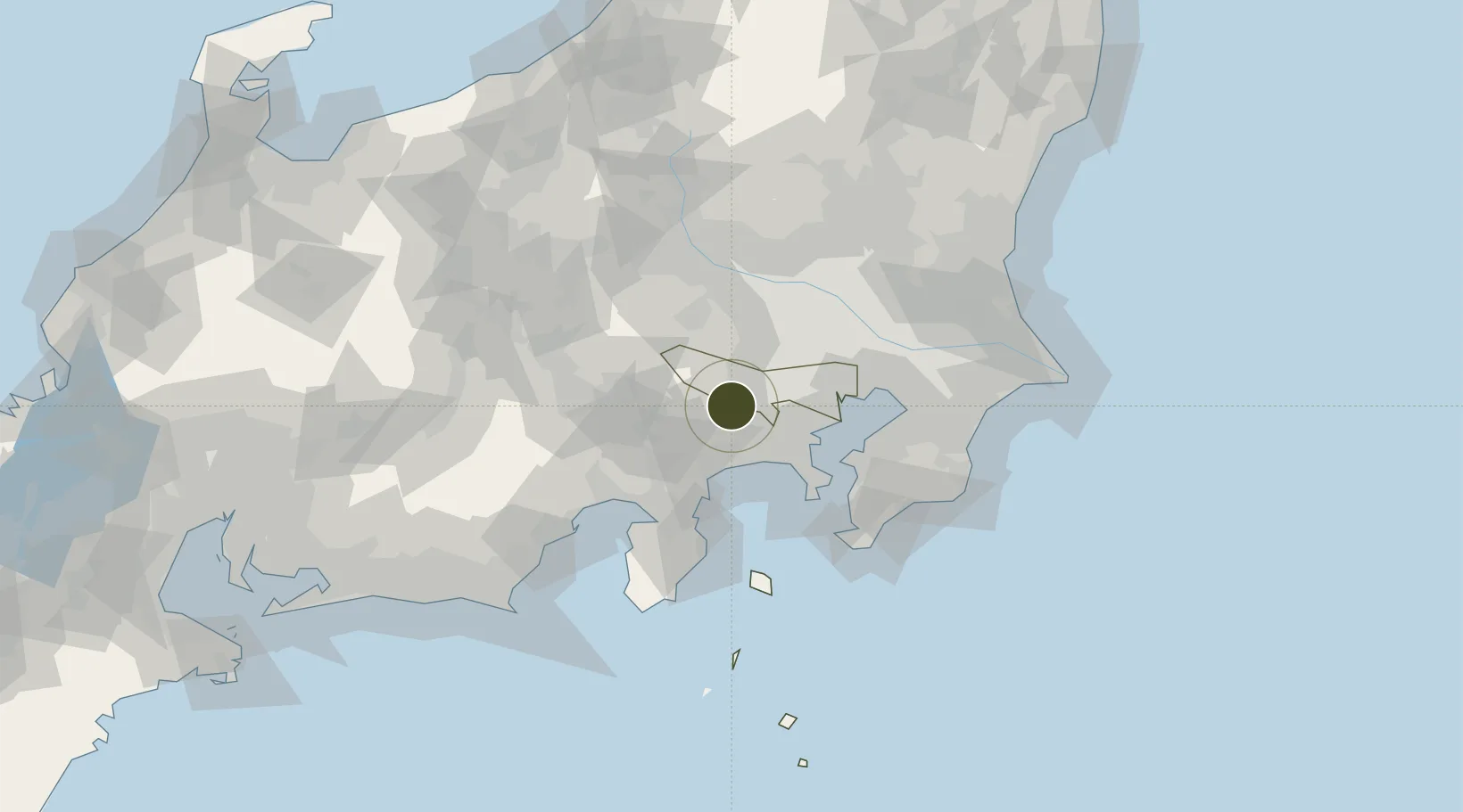
35.5857°, 139.2622°
31 ha
Zone area
32.7 km
Nearest port
19.7 km
Nearest airport

Gateway access

Nearest neighbours — logibook spatial index (haversine) over the source coordinates

Zone profile

Zone type
Specialized Zone
Open Zone Map
Specialization
Tech
Open Zone Map
Region
Tokyo
Open Zone Map
Status
Active
Open Zone Map
Management
Public
Open Zone Map
Operator
Kanagawa Prefecture(Sagami Robot Industry Special Zone Group)
Open Zone Map
Legal framework
2013 National Government Regional Revitalization Comprehensive Special Zone Designation
Open Zone Map

Location

Location of ozm-2605
Natural Earth 10m (public domain) · Tokyo · ozm-2605 · 35.59, 139.26GoogleOSMYandex

Nearby Logistics Neighbours

Ports
  1. 1Yokohama Ko33 km
  2. 2Tokyo Ko45 km
  3. 3Kawasaki Ko47 km
  4. 4Yokosuka Ko50 km
  5. 5Uraga Ko57 km
Nearest neighbours — logibook spatial index (haversine) over the source coordinates
Airports
  1. 1Yokota Air Base20 km
  2. 2JMSDF Atsugi Air Base / Naval Air Facility Atsugi22 km
  3. 3Chofu Airport26 km
  4. 4Iruma Air Base32 km
  5. 5Tokyo Haneda International Airport48 km
Nearest neighbours — logibook spatial index (haversine) over the source coordinates
Cities
  1. 1Hachioji9 km
  2. 2Hino, Tokyo15 km
  3. 3Zama16 km
  4. 4Fussa17 km
  5. 5Tachikawa18 km
Nearest neighbours — logibook spatial index (haversine) over the source coordinates
DatabookThe Record of Consolidated Knowledge
Japan beyond logistics?
Browse databook

All Sources

Trade ZonesOpen Zone Map
CC BY
Portsthe NGA World Port Index
Public domain (US gov)
AirportsOurAirports
Public domain
LocationsUN/LOCODE
UN/LOCODE — free
← Japan trade zones