Economic Revitalization Project · Italy
Sardinia Special Economic Zone Area Under Development
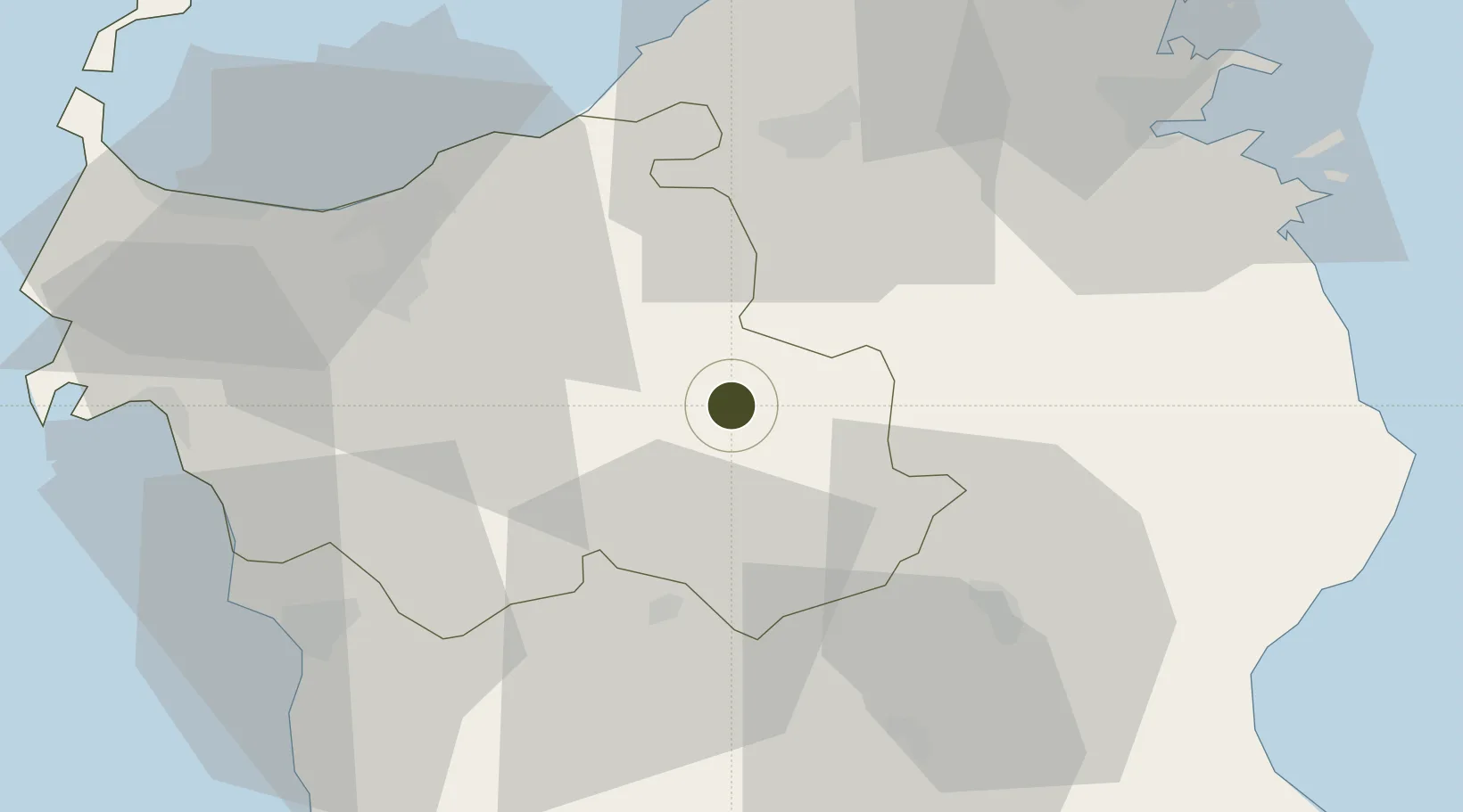
40.5889°, 8.9965°
2,409,000 ha
Zone area
58.3 km
Nearest port
55.9 km
Nearest airport
Gateway access
Zone profile
Zone type
Economic Revitalization Project
Region
Sassari
Status
Under Development
Management
Public
Operator
Regional Council of Sardinia
Legal framework
Council of Ministers’ Decree No. 12 issued on 25 January 2018, Italian Decree No. 91 of 2017, Italian Law No. 123 of 2017
Location
Nearby Logistics Neighbours
Ports
- 1Alghero58 km
- 2Olbia58 km
- 3Porto Torres59 km
- 4Golfo Aranci69 km
- 5Porto Cervo76 km
Airports
- 1Olbia Costa Smeralda Airport56 km
- 2Alghero-Fertilia Airport60 km
- 3Tortolì Airport95 km
- 4Figari Sud-Corse Airport102 km
- 5Decimomannu Air Base137 km
Cities
- 1Tempio Pausania36 km
- 2Sassari40 km
- 3Macomer41 km
- 4Valledoria41 km
- 5Nuoro43 km
Trade Zones
- 1Free Zone of Portovesme164 km
- 2Bizerte Park of Economic Activities377 km
- 3ZFU LAriane378 km
- 4ZFU Toulon379 km
- 5ZFU La Seyne-sur-Mer381 km
DatabookThe Record of Consolidated Knowledge
Italy beyond logistics?