Seaport · Italy

Golfo AranciITGAI

40.9930°, 9.6240°
Golfo Aranci is also a UN/LOCODE logistics hub →

Channel & Berth Profile

NGA World Port Index

Facilities & Capabilities

Container
Ro-Ro
Liquid bulk
Dry bulk
Oil terminal
Break bulk
Dry dock
Repairs
Bunkering
Rail link
Dangerous cargo
ISPS security
NGA World Port Index

Harbour Specifications

Harbour size
Small
NGA World Port Index
Water body
Tyrrhenian Sea; Mediterranean Sea; North Atlantic Ocean
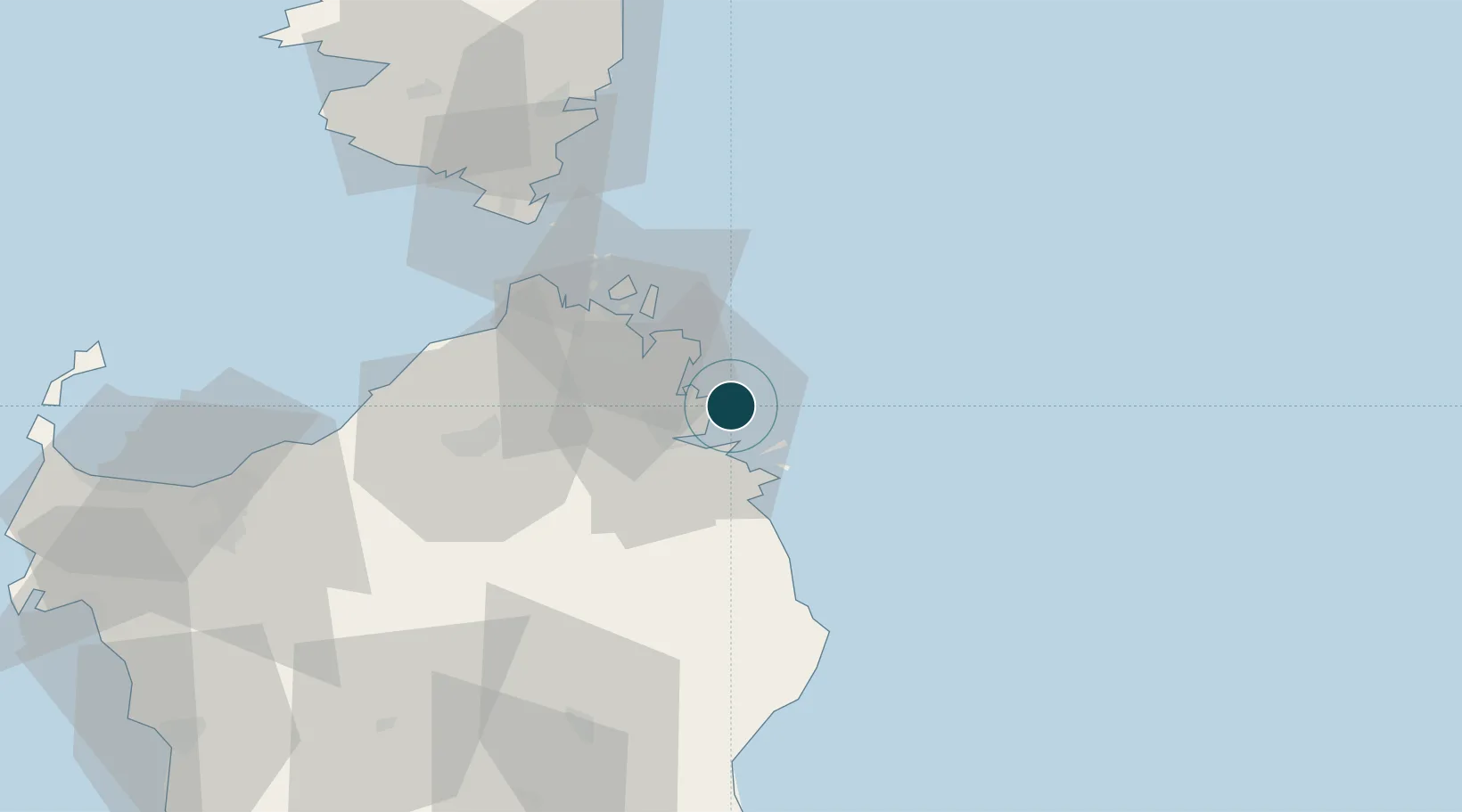
NGA World Port Index

Location

Location of ITGAI
Natural Earth 10m (public domain) · Olbia-Tempio · ITGAI · 40.99, 9.62GoogleOSMYandex

Nearby Logistics Neighbours

Ports
  1. 1Olbia11 km
  2. 2Porto Cervo18 km
  3. 3Maddalena30 km
  4. 4Bonifacio58 km
  5. 5Porto Vecchio72 km
Nearest neighbours — logibook spatial index (haversine) over the source coordinates
Cities
  1. 1Olbia12 km
  2. 2La Maddalena31 km
  3. 3Tempio Pausania45 km
  4. 4Santa Teresa di Gallura46 km
  5. 5Capo Pertusato56 km
Nearest neighbours — logibook spatial index (haversine) over the source coordinates
Airports
  1. 1Olbia Costa Smeralda Airport14 km
  2. 2Figari Sud-Corse Airport72 km
  3. 3Solenzara (BA 126) Air Base105 km
  4. 4Alghero-Fertilia Airport119 km
  5. 5Tortolì Airport120 km
Nearest neighbours — logibook spatial index (haversine) over the source coordinates
Trade Zones
  1. 1Sardinia Special Economic Zone Area69 km
  2. 2Free Zone of Portovesme226 km
  3. 3Campania Special Economic Zone (Naples and Salerno)341 km
  4. 4Abruzzo Special Economic Zone341 km
  5. 5ZFU LAriane361 km
Nearest neighbours — logibook spatial index (haversine) over the source coordinates
DatabookThe Record of Consolidated Knowledge
Italy beyond logistics?
Browse databook

All Sources

Portsthe NGA World Port Index
Public domain (US gov)
AirportsOurAirports
Public domain
LocationsUN/LOCODE
UN/LOCODE — free
Trade Zonesthe World Bank SEZ database
CC BY 4.0
Trade ZonesOpen Zone Map
CC BY
← Italy ports