Economic Revitalization Project · France
ZFU Toulon Active
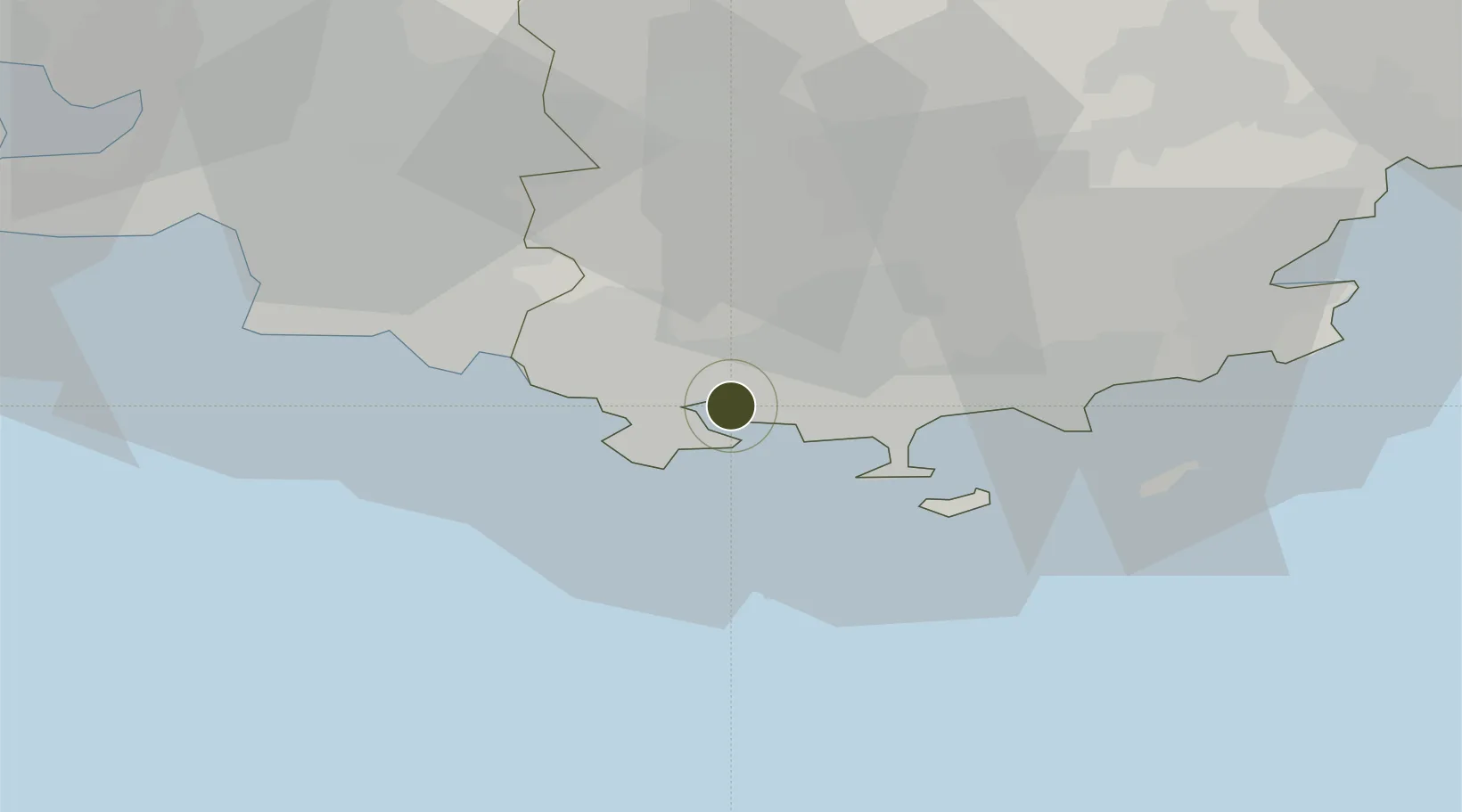
43.1216°, 5.9385°
55 ha
Zone area
3.0 km
Nearest port
17.1 km
Nearest airport
Gateway access
Zone profile
Zone type
Economic Revitalization Project
Region
Var
Status
Active
Management
Public
Operator
Mairie de Toulon
Legal framework
Décret no 65-939 du 8 novembre 1965, Décret du 9 Octobre 2008
Location
Nearby Logistics Neighbours
Ports
- 1Toulon3 km
- 2Marseille51 km
- 3Saint-Tropez59 km
- 4Saint-Raphael75 km
- 5Port-de-Bouc83 km
Airports
- 1Toulon-Hyères Airport17 km
- 2Le Castellet Airport19 km
- 3La Môle Airport45 km
- 4Le Luc-Le Cannet Airfield47 km
- 5Marseille Provence Airport69 km
Cities
- 1Toulon1 km
- 2La Seyne-sur-Mer5 km
- 3Le Pradet7 km
- 4Ollioules9 km
- 5Évenos9 km
Trade Zones
- 1ZFU La Seyne-sur-Mer9 km
- 2ZFU Marseille 15e et 16e52 km
- 3ZFU Saint-Barthélémy, Le Canet, Delorme-Paternelle59 km
- 4ZFU LAriane129 km
- 5ZFU Avignon130 km
DatabookThe Record of Consolidated Knowledge
France beyond logistics?