Transport Functions
Multimodal
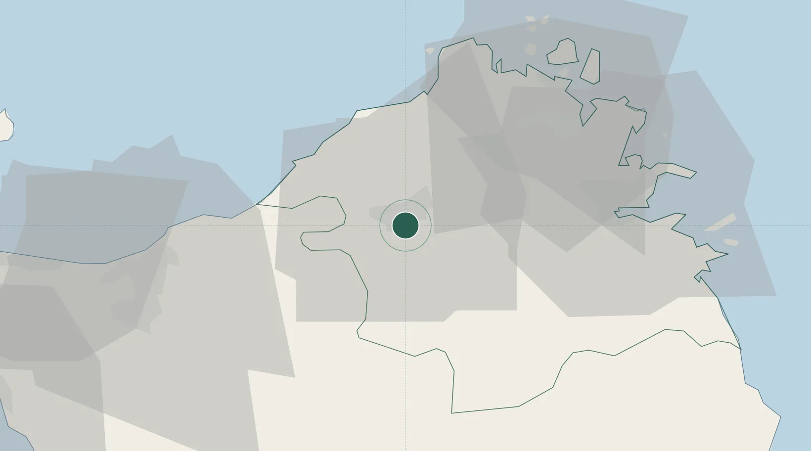
Hub Profile
Place type
District seat
Region
Sardinia
Population
12,706
Time zone
Europe/Rome
Elevation
566 m
Location
Nearby Logistics Neighbours
Cities
- 1Valledoria24 km
- 2Castelsardo32 km
- 3Olbia35 km
- 4Santa Teresa di Gallura38 km
- 5La Maddalena43 km
Ports
- 1Olbia36 km
- 2Maddalena43 km
- 3Golfo Aranci45 km
- 4Porto Cervo45 km
- 5Bonifacio54 km
Airports
Trade Zones
- 1Sardinia Special Economic Zone Area36 km
- 2Free Zone of Portovesme199 km
- 3ZFU LAriane350 km
- 4ZFU Toulon360 km
- 5ZFU La Seyne-sur-Mer362 km
DatabookThe Record of Consolidated Knowledge
Italy beyond logistics?