Channel & Berth Profile
Facilities & Capabilities
Container—
Ro-Ro—
Liquid bulk—
Dry bulk—
Oil terminal—
Break bulk—
Dry dock—
Repairs—
Bunkering—
Rail link—
Dangerous cargo—
ISPS security—
Harbour Specifications
Harbour size
Small
Water body
Mediterranean Sea; North Atlantic Ocean
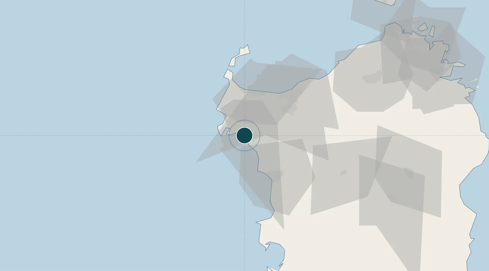
Location
Nearby Logistics Neighbours
Ports
- 1Porto Torres33 km
- 2Porto Di Oristano81 km
- 3Olbia110 km
- 4Bonifacio116 km
- 5Maddalena116 km
Cities
- 1Porto Conte Torre Nuova10 km
- 2Sassari26 km
- 3Bosa34 km
- 4Stintino41 km
- 5Macomer51 km
Airports
- 1Alghero-Fertilia Airport7 km
- 2Olbia Costa Smeralda Airport109 km
- 3Figari Sud-Corse Airport123 km
- 4Tortolì Airport137 km
- 5Decimomannu Air Base146 km
Trade Zones
- 1Sardinia Special Economic Zone Area58 km
- 2Free Zone of Portovesme154 km
- 3ZFU Toulon345 km
- 4ZFU La Seyne-sur-Mer346 km
- 5ZFU LAriane363 km
DatabookThe Record of Consolidated Knowledge
Italy beyond logistics?