Transport Functions
Rail
Road
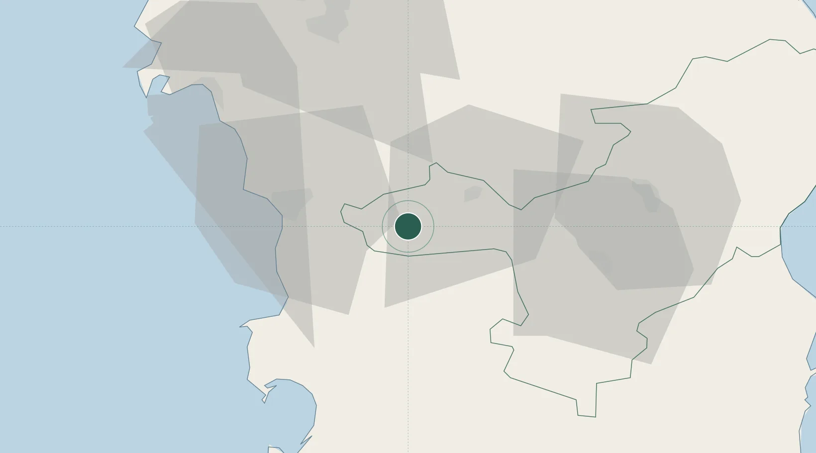
Hub Profile
Place type
District seat
Region
Sardinia
Population
10,375
Time zone
Europe/Rome
Elevation
563 m
Location
Nearby Logistics Neighbours
Cities
- 1Bosa23 km
- 2Oristano43 km
- 3Santa Giusta47 km
- 4Alghero49 km
- 5Nuoro50 km
Ports
- 1Porto Di Oristano48 km
- 2Alghero51 km
- 3Porto Torres72 km
- 4Arbatax88 km
- 5Olbia97 km
Airports
- 1Alghero-Fertilia Airport57 km
- 2Tortolì Airport87 km
- 3Olbia Costa Smeralda Airport95 km
- 4Decimomannu Air Base103 km
- 5Cagliari Elmas Airport116 km
Trade Zones
- 1Sardinia Special Economic Zone Area41 km
- 2Free Zone of Portovesme124 km
- 3Bizerte Park of Economic Activities347 km
- 4ZFU Toulon395 km
- 5ZFU La Seyne-sur-Mer396 km
DatabookThe Record of Consolidated Knowledge
Italy beyond logistics?