Transport Functions
Rail
Road
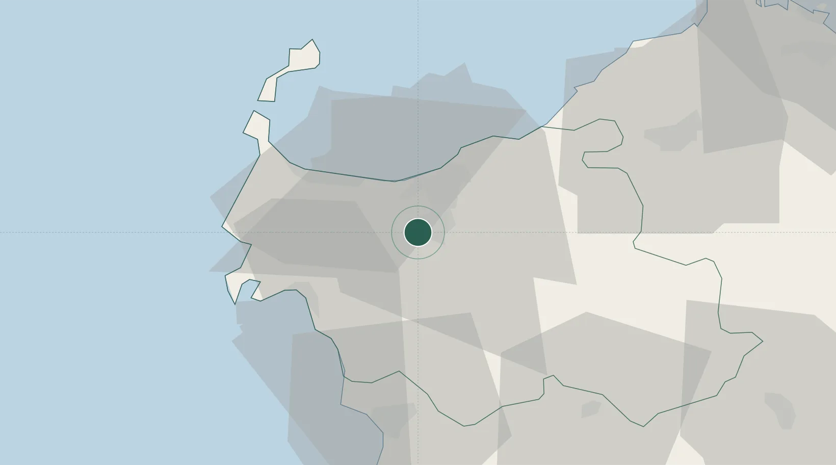
Hub Profile
Place type
Provincial seat
Region
Sardinia
Population
91,895
Time zone
Europe/Rome
Elevation
225 m
Location
Nearby Logistics Neighbours
Cities
- 1Castelsardo26 km
- 2Alghero27 km
- 3Porto Conte Torre Nuova32 km
- 4Valledoria33 km
- 5Stintino37 km
Ports
- 1Porto Torres20 km
- 2Alghero26 km
- 3Olbia86 km
- 4Maddalena90 km
- 5Bonifacio90 km
Airports
- 1Alghero-Fertilia Airport24 km
- 2Olbia Costa Smeralda Airport84 km
- 3Figari Sud-Corse Airport99 km
- 4Tortolì Airport131 km
- 5Ajaccio Napoléon Bonaparte airport136 km
Trade Zones
- 1Sardinia Special Economic Zone Area40 km
- 2Free Zone of Portovesme171 km
- 3ZFU Toulon344 km
- 4ZFU La Seyne-sur-Mer346 km
- 5ZFU LAriane353 km
DatabookThe Record of Consolidated Knowledge
Italy beyond logistics?