Economic Revitalization Project · France
ZFU LAriane Active
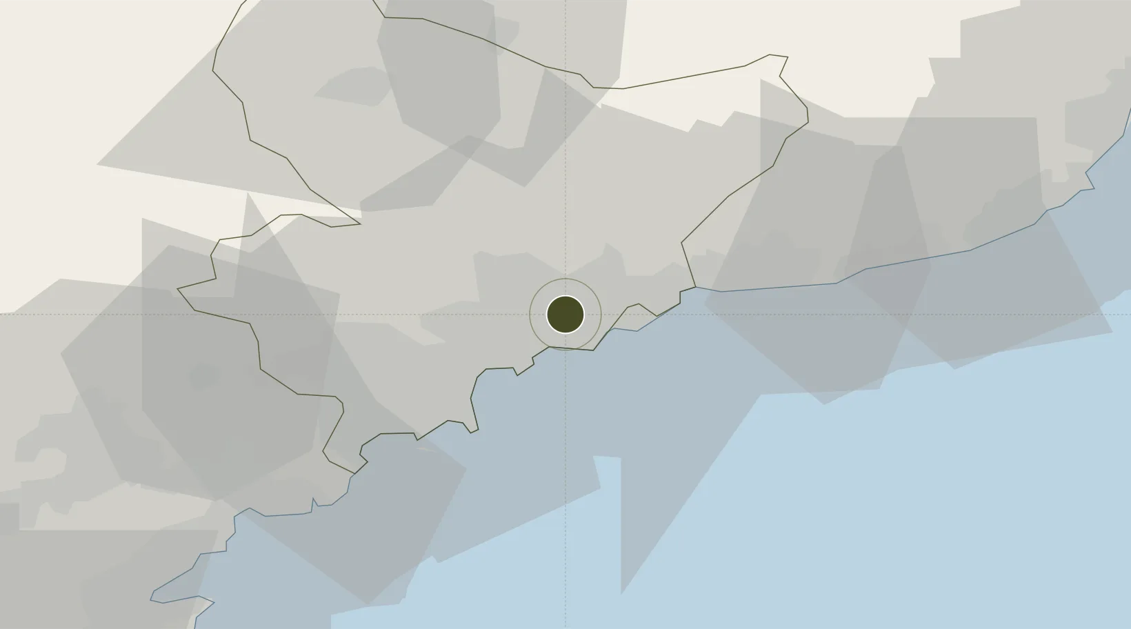
43.7460°, 7.2844°
80 ha
Zone area
5.1 km
Nearest port
11.1 km
Nearest airport
Gateway access
Zone profile
Zone type
Economic Revitalization Project
Region
Alpes-Maritimes
Status
Active
Management
Public
Operator
Ville de Nice
Legal framework
Décret no 65-939 du 8 novembre 1965, Décret du 9 Octobre 2008
Location
Nearby Logistics Neighbours
Ports
- 1Nice5 km
- 2Villefranche6 km
- 3Monaco11 km
- 4Antibes22 km
- 5Cannes31 km
Airports
Cities
- 1Saint-André-de-la-Roche1 km
- 2Tourrette-Levens4 km
- 3Nice5 km
- 4Villefranche-sur-Mer6 km
- 5Colomars6 km
Trade Zones
- 1ZFU Toulon129 km
- 2ZFU La Seyne-sur-Mer138 km
- 3ZFU Marseille 15e et 16e161 km
- 4ZFU Saint-Barthélémy, Le Canet, Delorme-Paternelle173 km
- 5ZFU Avignon200 km
DatabookThe Record of Consolidated Knowledge
France beyond logistics?