Transport Functions
Rail
Road
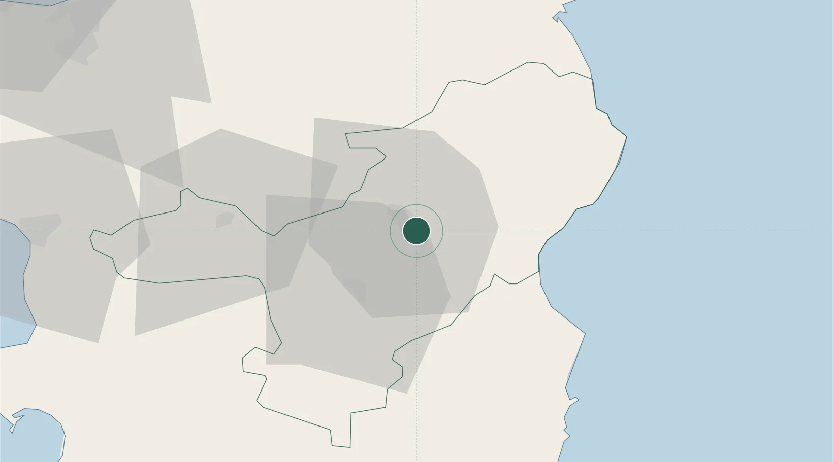
Hub Profile
Place type
Provincial seat
Region
Sardinia
Population
35,948
Time zone
Europe/Rome
Elevation
549 m
Location
Nearby Logistics Neighbours
Cities
- 1Cala Gonone24 km
- 2Orosei31 km
- 3Santa Maria Navarrese47 km
- 4Macomer50 km
- 5Arbatax52 km
Ports
- 1Arbatax52 km
- 2Olbia69 km
- 3Golfo Aranci79 km
- 4Porto Di Oristano85 km
- 5Alghero93 km
Airports
- 1Tortolì Airport53 km
- 2Olbia Costa Smeralda Airport66 km
- 3Alghero-Fertilia Airport96 km
- 4Decimomannu Air Base112 km
- 5Cagliari Elmas Airport121 km
Trade Zones
DatabookThe Record of Consolidated Knowledge
Italy beyond logistics?