Transport Functions
Rail
Road
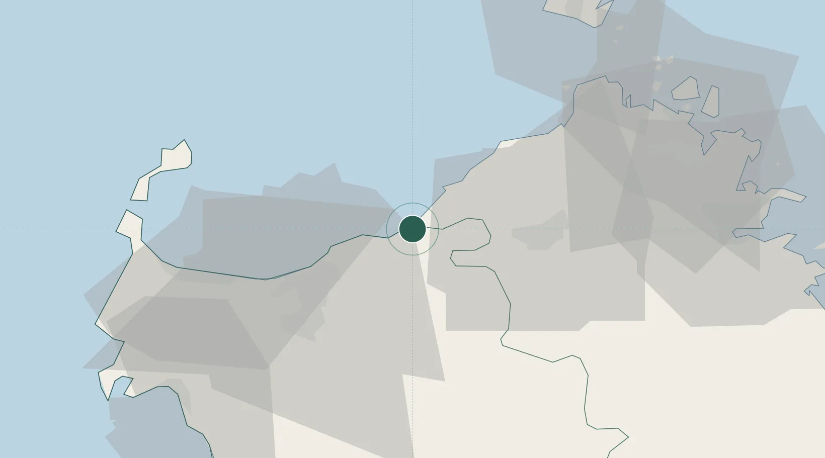
Hub Profile
Place type
District seat
Region
Sardinia
Population
3,713
Time zone
Europe/Rome
Elevation
15 m
Location
Nearby Logistics Neighbours
Cities
- 1Castelsardo9 km
- 2Tempio Pausania24 km
- 3Sassari33 km
- 4Santa Teresa di Gallura45 km
- 5Isola Asinara48 km
Ports
- 1Porto Torres37 km
- 2Maddalena58 km
- 3Bonifacio58 km
- 4Alghero59 km
- 5Olbia60 km
Airports
Trade Zones
- 1Sardinia Special Economic Zone Area41 km
- 2Free Zone of Portovesme197 km
- 3ZFU LAriane337 km
- 4ZFU Toulon340 km
- 5ZFU La Seyne-sur-Mer343 km
DatabookThe Record of Consolidated Knowledge
Italy beyond logistics?