Medium airport · Italy

Decimomannu Air BaseLIED
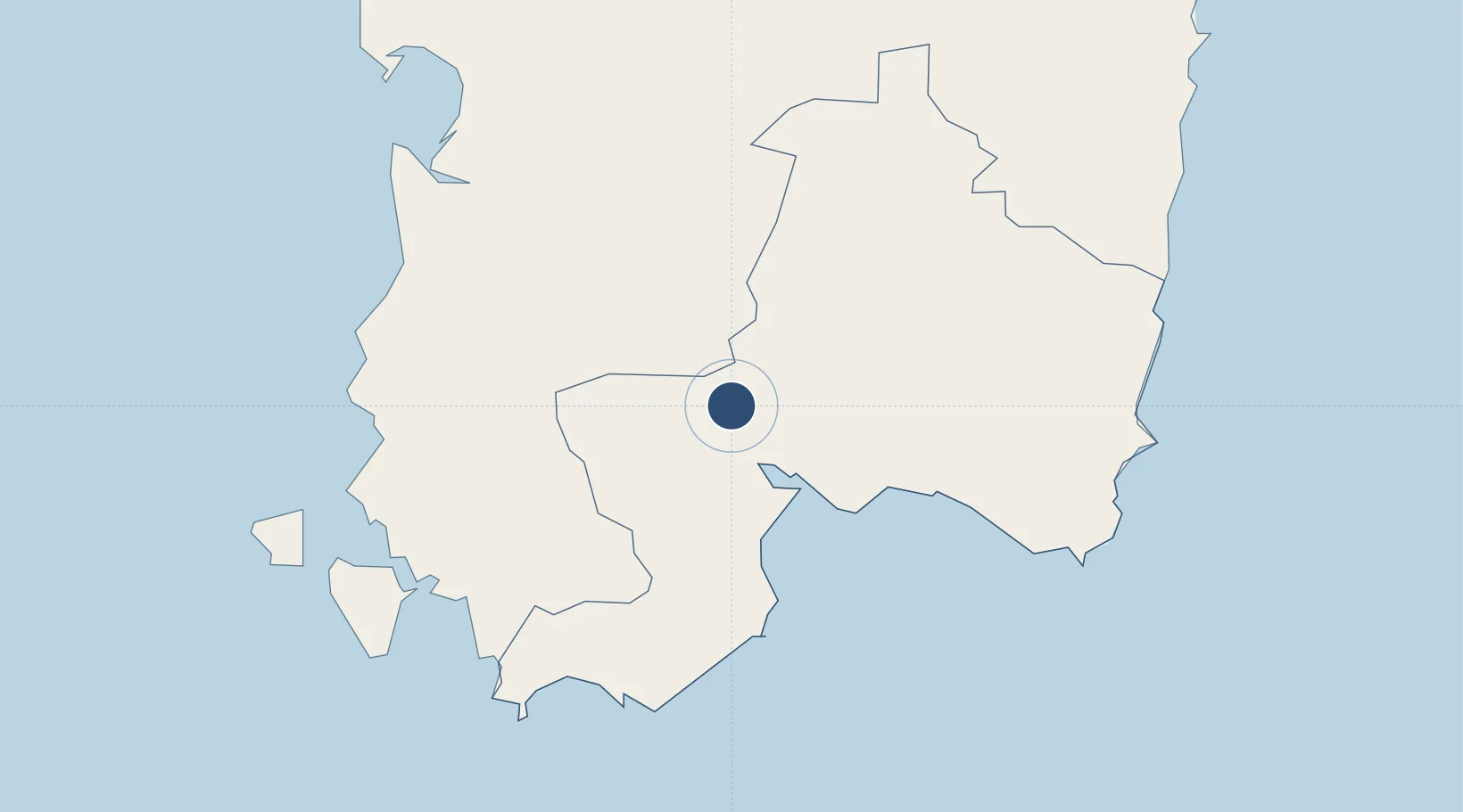
39.3542°, 8.9725°
9,793 ft
Longest runway
2
Runways
100 ft
Elevation

Runway & Layout

Decimomannu Air Base runway & taxiway layout
Runway & taxiway layout — OpenStreetMap (ODbL) / OurAirports

Radio Frequencies

TWR
122.1 MHz
GND
27.917 MHz
APP
118.75 MHz
CAGLIARI APP
OurAirports

Navaids

DEC TACAN Decimomannu 108.20 MHz
DEC NDB Decimomannu 331 kHz
OurAirports

Runways · 2

RunwayDimensions SurfaceTrue headingLit
16L/34R 9,793 × 148ft Asphalt 167°
16R/34L 9,072 × 98ft Asphalt 167°
OurAirports

Airport Specifications

IATA code
DCI
OurAirports
ICAO code
LIED
OurAirports
Airport class
Medium airport
OurAirports
Scheduled service
No
OurAirports
Runway surface
Asphalt
OurAirports
Served city
Decimomannu
OurAirports

Location

Location of LIED
Natural Earth 10m (public domain) · Cagliari · LIED · 39.35, 8.97GoogleOSMYandex

Nearby Logistics Neighbours

Airports
  1. 1Cagliari Elmas Airport13 km
  2. 2Tortolì Airport87 km
  3. 3Alghero-Fertilia Airport154 km
  4. 4Olbia Costa Smeralda Airport178 km
  5. 5Figari Sud-Corse Airport239 km
Nearest neighbours — logibook spatial index (haversine) over the source coordinates
Cities
  1. 1Villaspeciosa8 km
  2. 2Uta8 km
  3. 3Serramanna8 km
  4. 4Elmas12 km
  5. 5Siliqua16 km
Nearest neighbours — logibook spatial index (haversine) over the source coordinates
Ports
  1. 1Cagliari21 km
  2. 2Sarroch Oil Terminal31 km
  3. 3Porto Vesme54 km
  4. 4Sant'Antioco55 km
  5. 5Porto Ponte Romano55 km
Nearest neighbours — logibook spatial index (haversine) over the source coordinates
Trade Zones
  1. 1Free Zone of Portovesme51 km
  2. 2Sardinia Special Economic Zone Area137 km
  3. 3Bizerte Park of Economic Activities245 km
  4. 4Campania Special Economic Zone (Naples and Salerno)428 km
  5. 5ZFU Toulon490 km
Nearest neighbours — logibook spatial index (haversine) over the source coordinates
DatabookThe Record of Consolidated Knowledge
Italy beyond logistics?
Browse databook

All Sources

AirportsOurAirports
Public domain
Portsthe NGA World Port Index
Public domain (US gov)
LocationsUN/LOCODE
UN/LOCODE — free
Trade Zonesthe World Bank SEZ database
CC BY 4.0
Trade ZonesOpen Zone Map
CC BY
InfrastructureOpenStreetMap
ODbL 1.0
← Italy airports