Economic Revitalization Project · France
ZFU La Seyne-sur-Mer Active
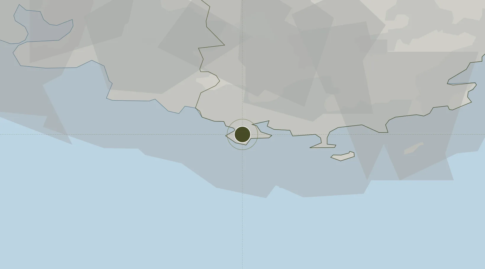
43.0837°, 5.8438°
123 ha
Zone area
6.2 km
Nearest port
19.4 km
Nearest airport
Gateway access
Zone profile
Zone type
Economic Revitalization Project
Region
Var
Status
Active
Management
Public
Operator
La Seyne-sur-Mer
Legal framework
Décret no 65-939 du 8 novembre 1965, Décret du 9 Octobre 2008
Location
Nearby Logistics Neighbours
Ports
- 1Toulon6 km
- 2Marseille47 km
- 3Saint-Tropez67 km
- 4Port-de-Bouc78 km
- 5Saint-Raphael83 km
Airports
- 1Le Castellet Airport19 km
- 2Toulon-Hyères Airport25 km
- 3La Môle Airport54 km
- 4Le Luc-Le Cannet Airfield55 km
- 5Marseille Provence Airport65 km
Cities
- 1La Seyne-sur-Mer5 km
- 2Sanary-sur-Mer5 km
- 3Ollioules6 km
- 4Toulon8 km
- 5Évenos9 km
Trade Zones
- 1ZFU Toulon9 km
- 2ZFU Marseille 15e et 16e48 km
- 3ZFU Saint-Barthélémy, Le Canet, Delorme-Paternelle54 km
- 4ZFU Avignon128 km
- 5ZFU LAriane138 km
DatabookThe Record of Consolidated Knowledge
France beyond logistics?