Seaport · Italy

Porto TorresITPTO

40.8520°, 8.3960°
11.0 m
Channel depth
12.6
Port liner connectivity

Channel & Berth Profile

SEA LEVEL (CD)CHANNEL BEDChannel · 11.0 mCargo pier · 12.5 mOil terminal · 14.0 mAnchorage · 20.1 m
NGA World Port Index

Pilotage, Tugs & Services

Pilotage compulsoryYES
Pilotage availableYES
Tug assistanceYES
Potable waterYES
Diesel bunkersYES
MedicalYES
Garbage disposalYES
NGA World Port Index

Facilities & Capabilities

Container
Ro-Ro
Liquid bulk
Dry bulk
Oil terminal
Break bulk
Dry dock
RepairsNO
BunkeringYES
Rail linkYES
Dangerous cargo
ISPS security
NGA World Port Index

Harbour Specifications

Harbour size
Small
NGA World Port Index
Harbour type
Coastal (Breakwater)
NGA World Port Index
Shelter
Fair
NGA World Port Index
Water body
Mediterranean Sea; North Atlantic Ocean
NGA World Port Index
Overhead limit
No
NGA World Port Index
Pilotage
Yes
NGA World Port Index

Liner Connectivity

12.6
PLSCI

Port Liner Shipping Connectivity Index for Porto Torres, as published by UNCTAD for the latest available quarter. Higher values indicate stronger scheduled liner-shipping integration.

Shown relative to the highest per-port PLSCI in the dataset (1,657.9).
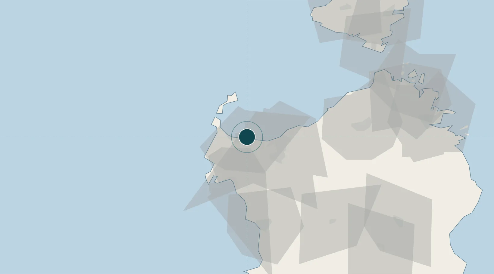
UNCTAD · Port Liner Shipping Connectivity Index

Location

Location of ITPTO
Natural Earth 10m (public domain) · Sassari · ITPTO · 40.85, 8.40GoogleOSMYandex

Nearby Logistics Neighbours

Ports
  1. 1Alghero33 km
  2. 2Bonifacio88 km
  3. 3Maddalena93 km
  4. 4Olbia96 km
  5. 5Porto Cervo101 km
Nearest neighbours — logibook spatial index (haversine) over the source coordinates
Cities
  1. 1Stintino18 km
  2. 2Sassari20 km
  3. 3Isola Asinara25 km
  4. 4Castelsardo28 km
  5. 5Porto Conte Torre Nuova33 km
Nearest neighbours — logibook spatial index (haversine) over the source coordinates
Airports
  1. 1Alghero-Fertilia Airport26 km
  2. 2Figari Sud-Corse Airport93 km
  3. 3Olbia Costa Smeralda Airport95 km
  4. 4Ajaccio Napoléon Bonaparte airport124 km
  5. 5Solenzara (BA 126) Air Base146 km
Nearest neighbours — logibook spatial index (haversine) over the source coordinates
Trade Zones
  1. 1Sardinia Special Economic Zone Area59 km
  2. 2Free Zone of Portovesme185 km
  3. 3ZFU Toulon324 km
  4. 4ZFU La Seyne-sur-Mer326 km
  5. 5ZFU LAriane335 km
Nearest neighbours — logibook spatial index (haversine) over the source coordinates
DatabookThe Record of Consolidated Knowledge
Italy beyond logistics?
Browse databook

All Sources

Portsthe NGA World Port Index
Public domain (US gov)
Logistics performanceUNCTAD
CC BY 3.0 IGO
AirportsOurAirports
Public domain
LocationsUN/LOCODE
UN/LOCODE — free
Trade Zonesthe World Bank SEZ database
CC BY 4.0
Trade ZonesOpen Zone Map
CC BY
← Italy ports