Medium airport · Italy
Tortolì AirportLIET
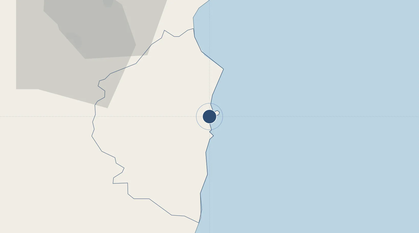
39.9188°, 9.6830°
3,898 ft
Longest runway
1
Runways
23 ft
Elevation
Runway & Layout

Radio Frequencies
AFIS
119.65 MHz
INFO
Navaids
ARB NDB Tortoli 289 kHz
Runways · 1
| Runway | Dimensions | Surface | True heading | Lit |
|---|---|---|---|---|
| 12/30 | 3,898 × 98ft | Asphalt | 121° | ✓ |
Airport Specifications
ICAO code
LIET
Airport class
Medium airport
Scheduled service
No
Runway surface
Asphalt
Served city
Arbatax
Location
Nearby Logistics Neighbours
Airports
- 1Decimomannu Air Base87 km
- 2Cagliari Elmas Airport92 km
- 3Olbia Costa Smeralda Airport110 km
- 4Alghero-Fertilia Airport142 km
- 5Figari Sud-Corse Airport183 km
Cities
- 1Arbatax2 km
- 2Santa Maria Navarrese7 km
- 3Osini20 km
- 4Cala Gonone43 km
- 5Orosei52 km
Ports
- 1Arbatax2 km
- 2Cagliari95 km
- 3Porto Di Oristano97 km
- 4Sarroch Oil Terminal108 km
- 5Olbia113 km
Trade Zones
DatabookThe Record of Consolidated Knowledge
Italy beyond logistics?