Seaport · Italy

OlbiaITOLB

40.9250°, 9.5280°
6.4 m
Channel depth
9.9
Port liner connectivity
Olbia is also a UN/LOCODE logistics hub →

Channel & Berth Profile

SEA LEVEL (CD)CHANNEL BEDChannel · 6.4 mCargo pier · 9.4 mAnchorage · 21.6 m
NGA World Port Index

Pilotage, Tugs & Services

Pilotage compulsoryYES
Pilotage advisableYES
Tug assistanceYES
Potable waterYES
Diesel bunkersYES
MedicalYES
Garbage disposalYES
NGA World Port Index

Facilities & Capabilities

Container
Ro-Ro
Liquid bulk
Dry bulk
Oil terminal
Break bulk
Dry dock
Repairs
BunkeringYES
Rail linkYES
Dangerous cargo
ISPS security
NGA World Port Index

Harbour Specifications

Harbour size
Small
NGA World Port Index
Harbour type
Coastal (Natural)
NGA World Port Index
Shelter
Poor
NGA World Port Index
Water body
Tyrrhenian Sea; Mediterranean Sea; North Atlantic Ocean
NGA World Port Index
Tidal range
1 m
NGA World Port Index
Pilotage
Yes
NGA World Port Index

Liner Connectivity

9.9
PLSCI

Port Liner Shipping Connectivity Index for Olbia, as published by UNCTAD for the latest available quarter. Higher values indicate stronger scheduled liner-shipping integration.

Shown relative to the highest per-port PLSCI in the dataset (1,657.9).
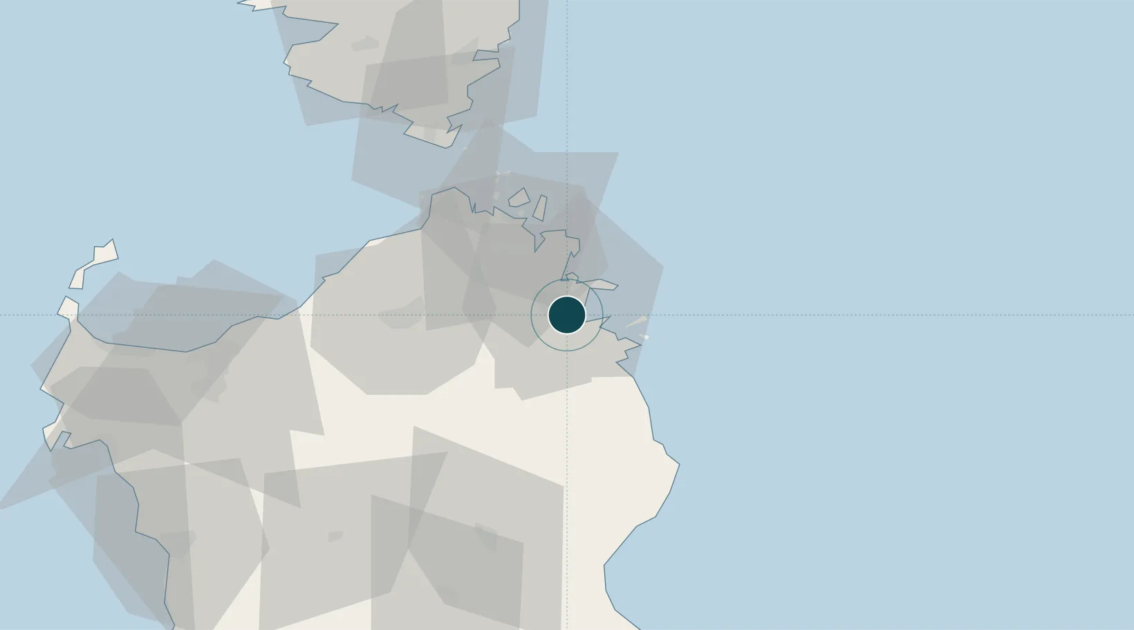
UNCTAD · Port Liner Shipping Connectivity Index

Location

Location of ITOLB
Natural Earth 10m (public domain) · Olbia-Tempio · ITOLB · 40.92, 9.53GoogleOSMYandex

Nearby Logistics Neighbours

Ports
  1. 1Golfo Aranci11 km
  2. 2Porto Cervo24 km
  3. 3Maddalena33 km
  4. 4Bonifacio59 km
  5. 5Porto Vecchio76 km
Nearest neighbours — logibook spatial index (haversine) over the source coordinates
Cities
  1. 1Golfo Aranci11 km
  2. 2La Maddalena34 km
  3. 3Tempio Pausania36 km
  4. 4Santa Teresa di Gallura45 km
  5. 5Capo Pertusato57 km
Nearest neighbours — logibook spatial index (haversine) over the source coordinates
Airports
  1. 1Olbia Costa Smeralda Airport3 km
  2. 2Figari Sud-Corse Airport74 km
  3. 3Alghero-Fertilia Airport109 km
  4. 4Solenzara (BA 126) Air Base112 km
  5. 5Tortolì Airport113 km
Nearest neighbours — logibook spatial index (haversine) over the source coordinates
Trade Zones
  1. 1Sardinia Special Economic Zone Area58 km
  2. 2Free Zone of Portovesme215 km
  3. 3Campania Special Economic Zone (Naples and Salerno)348 km
  4. 4Abruzzo Special Economic Zone351 km
  5. 5ZFU LAriane364 km
Nearest neighbours — logibook spatial index (haversine) over the source coordinates
DatabookThe Record of Consolidated Knowledge
Italy beyond logistics?
Browse databook

All Sources

Portsthe NGA World Port Index
Public domain (US gov)
Logistics performanceUNCTAD
CC BY 3.0 IGO
AirportsOurAirports
Public domain
LocationsUN/LOCODE
UN/LOCODE — free
Trade Zonesthe World Bank SEZ database
CC BY 4.0
Trade ZonesOpen Zone Map
CC BY
← Italy ports