Seaport · Italy

Porto CervoITPCE

41.1370°, 9.5400°

Channel & Berth Profile

NGA World Port Index

Facilities & Capabilities

Container
Ro-Ro
Liquid bulk
Dry bulk
Oil terminal
Break bulk
Dry dock
Repairs
Bunkering
Rail link
Dangerous cargo
ISPS security
NGA World Port Index

Harbour Specifications

Harbour size
Medium
NGA World Port Index
Water body
Tyrrhenian Sea; Mediterranean Sea; North Atlantic Ocean
NGA World Port Index

Location

Location of ITPCE
Natural Earth 10m (public domain) · Olbia-Tempio · ITPCE · 41.14, 9.54GoogleOSMYandex

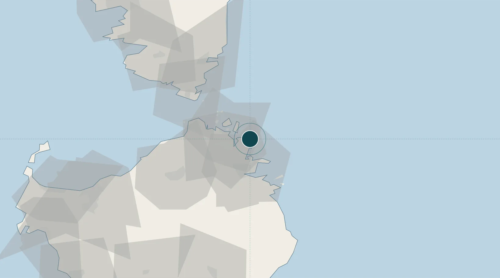
Nearby Logistics Neighbours

Ports
  1. 1Maddalena14 km
  2. 2Golfo Aranci18 km
  3. 3Olbia24 km
  4. 4Bonifacio42 km
  5. 5Porto Vecchio54 km
Nearest neighbours — logibook spatial index (haversine) over the source coordinates
Cities
  1. 1La Maddalena15 km
  2. 2Golfo Aranci17 km
  3. 3Olbia25 km
  4. 4Santa Teresa di Gallura32 km
  5. 5Capo Pertusato39 km
Nearest neighbours — logibook spatial index (haversine) over the source coordinates
Airports
  1. 1Olbia Costa Smeralda Airport27 km
  2. 2Figari Sud-Corse Airport55 km
  3. 3Solenzara (BA 126) Air Base88 km
  4. 4Ajaccio Napoléon Bonaparte airport107 km
  5. 5Alghero-Fertilia Airport119 km
Nearest neighbours — logibook spatial index (haversine) over the source coordinates
Trade Zones
  1. 1Sardinia Special Economic Zone Area76 km
  2. 2Free Zone of Portovesme237 km
  3. 3Abruzzo Special Economic Zone340 km
  4. 4ZFU LAriane344 km
  5. 5Campania Special Economic Zone (Naples and Salerno)349 km
Nearest neighbours — logibook spatial index (haversine) over the source coordinates
DatabookThe Record of Consolidated Knowledge
Italy beyond logistics?
Browse databook

All Sources

Portsthe NGA World Port Index
Public domain (US gov)
AirportsOurAirports
Public domain
LocationsUN/LOCODE
UN/LOCODE — free
Trade Zonesthe World Bank SEZ database
CC BY 4.0
Trade ZonesOpen Zone Map
CC BY
← Italy ports