UN/LOCODE hub · Vietnam
VNTHQ
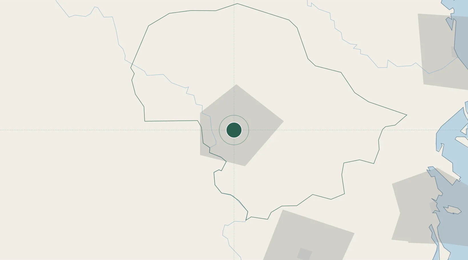
Buon Ma Thuot
12.6667°, 108.0500°
434,256
Population
1
Transport functions
Transport Functions
Multimodal
Hub Profile
Place type
Regional capital
Region
Dak Lak
Population
434,256
Time zone
Asia/Ho_Chi_Minh
Elevation
459 m
Location
Nearby Logistics Neighbours
Ports
- 1Nha Trang137 km
- 2Vinh Cam Ranh149 km
- 3Qui Nhon177 km
- 4Thanh Hoa249 km
- 5Cat Lai254 km
Airports
- 1Buon Ma Thuot Airport8 km
- 2Lien Khuong Airport108 km
- 3Dong Tac Airport146 km
- 4Cam Ranh International Airport / Cam Ranh Air Base147 km
- 5Pleiku Airport149 km
Trade Zones
- 1Tam Thang Industrial Zone16 km
- 2Phu Hoi Industrial Zone114 km
- 3Bắc Vân Phong Special Economic Zone120 km
- 4Suoi Dau Industrial Zone125 km
- 5Lộc SÆ¡n Industrial Zone130 km
DatabookThe Record of Consolidated Knowledge
Vietnam beyond logistics?