Diversified Zone · Vietnam

Lộc SÆ¡n Industrial Zone Active
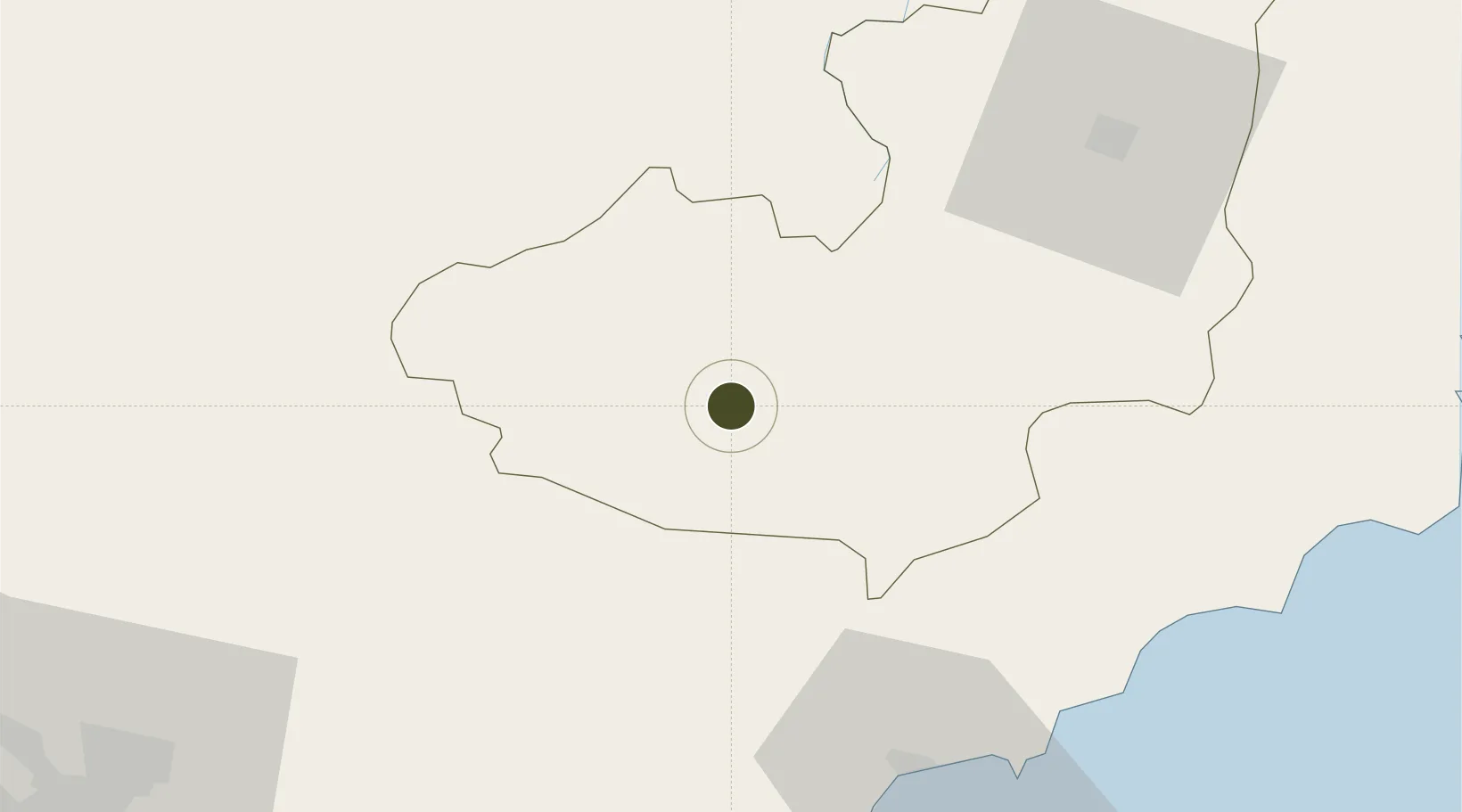
11.5188°, 107.8348°
497 ha
Zone area
135.9 km
Nearest port
63.4 km
Nearest airport

Gateway access

Nearest neighbours — logibook spatial index (haversine) over the source coordinates

Zone profile

Zone type
Diversified Zone
Open Zone Map
Region
Lâm Đồng
Open Zone Map
Status
Active
Open Zone Map
Management
Public
Open Zone Map
Operator
Lam Dong Industrial Zones Authority
Open Zone Map
Legal framework
Decree No.82/2018/ND-CP on Management of Industrial Parks and Economic Zones, Decree No 218/2013/ND-CP
Open Zone Map

Location

Location of ozm-5062
Natural Earth 10m (public domain) · Lâm Đồng · ozm-5062 · 11.52, 107.83GoogleOSMYandex

Nearby Logistics Neighbours

Ports
  1. 1Phu My136 km
  2. 2Thanh Hoa140 km
  3. 3Cat Lai143 km
  4. 4Thanh Ho Chi Minh148 km
  5. 5Vinh Cam Ranh151 km
Nearest neighbours — logibook spatial index (haversine) over the source coordinates
Airports
  1. 1Lien Khuong Airport63 km
  2. 2Long Thanh International Airport (Under Construction)120 km
  3. 3Buon Ma Thuot Airport132 km
  4. 4Tan Son Nhat International Airport151 km
  5. 5Cam Ranh International Airport / Cam Ranh Air Base160 km
Nearest neighbours — logibook spatial index (haversine) over the source coordinates
Cities
  1. 1Long Binh47 km
  2. 2Thanh Phuoc Port124 km
  3. 3Tân Uyên124 km
  4. 4Phu Giáo125 km
  5. 5Tan Cang - Long Binh ICD126 km
Nearest neighbours — logibook spatial index (haversine) over the source coordinates
Trade Zones
  1. 1Đại Lao Industrial Zone14 km
  2. 2Phu Hoi Industrial Zone62 km
  3. 3Ham Kiem Industrial Zone67 km
  4. 4Phan Thiet 1 Industrial Zone69 km
  5. 5Phu Tai Industrial Zone69 km
Nearest neighbours — logibook spatial index (haversine) over the source coordinates
DatabookThe Record of Consolidated Knowledge
Vietnam beyond logistics?
Browse databook

All Sources

Trade ZonesOpen Zone Map
CC BY
Portsthe NGA World Port Index
Public domain (US gov)
AirportsOurAirports
Public domain
LocationsUN/LOCODE
UN/LOCODE — free
← Vietnam trade zones