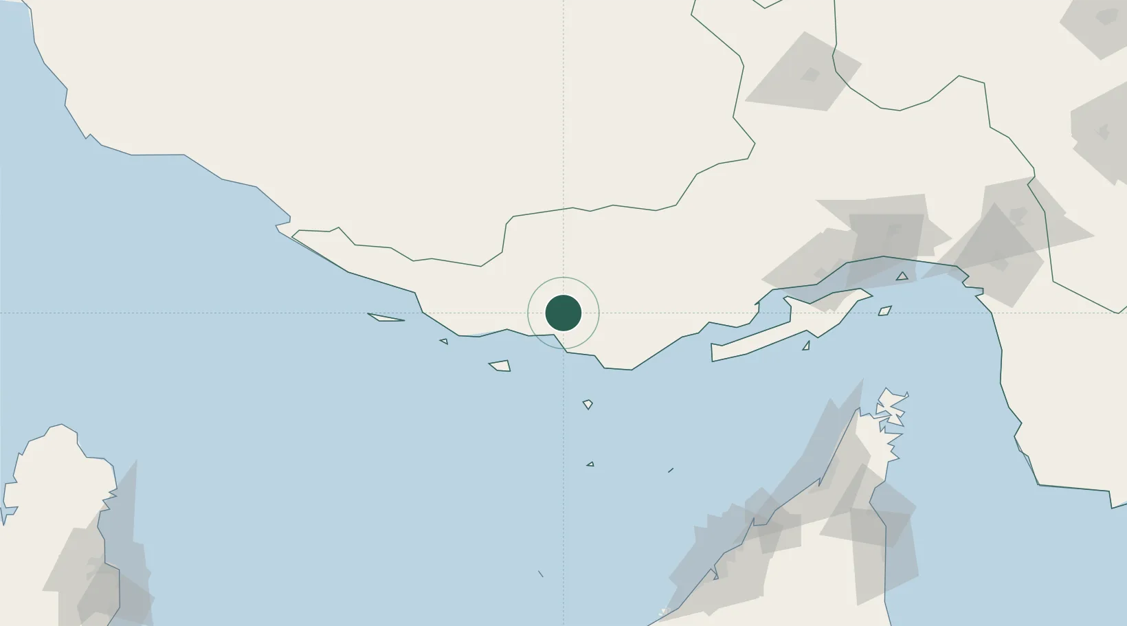
UN/LOCODE hub · Iran
IRBAM

Amirabad

26.8500°, 54.3667°
1
Transport functions

Transport Functions

Port
UN/LOCODE

Hub Profile

Place type
Urban district
GeoNames
Region
Hormozgan
GeoNames
Time zone
Asia/Tehran
GeoNames
Elevation
23 m
GeoNames

Location

Location of IRBAM
Natural Earth 10m (public domain) · Hormozgan · IRBAM · 26.85, 54.37GoogleOSMYandex

Nearby Logistics Neighbours

Cities
  1. 1Abu Musa127 km
  2. 2Bandare Parsian150 km
  3. 3Kuvei162 km
  4. 4Shahid Rajaee Pt/Bandar Abbas171 km
  5. 5Mirfa177 km
Nearest neighbours — logibook spatial index (haversine) over the source coordinates
Ports
  1. 1Jazireh-Ye Lavan Oil Terminal103 km
  2. 2Jazireh-Ye Sirri107 km
  3. 3Fateh Oil Terminal141 km
  4. 4Bandar-E Shahid Rejaie171 km
  5. 5Hulaylah Oil Terminal183 km
Nearest neighbours — logibook spatial index (haversine) over the source coordinates
Airports
  1. 1Kish International Airport53 km
  2. 2Bandar Lengeh International Airport58 km
  3. 3Lar Airport92 km
  4. 4Lavan Airport101 km
  5. 5Siri Airport106 km
Nearest neighbours — logibook spatial index (haversine) over the source coordinates
Trade Zones
  1. 1Kish Trade Industrial Free Zone48 km
  2. 2Lavan Special Economic Zone116 km
  3. 3Lamerd Lamord Special Economic Zone for Energy Industries132 km
  4. 4Parsian Pārsiān Special Economic Zone138 km
  5. 5Shahid Rajaei Saheed Rajaee Port170 km
Nearest neighbours — logibook spatial index (haversine) over the source coordinates
DatabookThe Record of Consolidated Knowledge
Iran beyond logistics?
Browse databook

All Sources

LocationsUN/LOCODE
UN/LOCODE — free
Portsthe NGA World Port Index
Public domain (US gov)
AirportsOurAirports
Public domain
Trade Zonesthe World Bank SEZ database
CC BY 4.0
Trade ZonesOpen Zone Map
CC BY
← Iran locations