Channel & Berth Profile
Pilotage, Tugs & Services
Pilotage compulsoryYES
Pilotage availableYES
Local assistanceYES
Tug assistanceYES
Potable waterNO
Diesel bunkersNO
MedicalNO
Garbage disposalNO
Facilities & Capabilities
Container—
Ro-Ro—
Liquid bulk—
Dry bulk—
Oil terminal—
Break bulk—
Dry dock—
Repairs—
Bunkering—
Rail link—
Dangerous cargo—
ISPS security—
Harbour Specifications
Harbour size
Small
Harbour type
Open Roadstead
Shelter
Fair
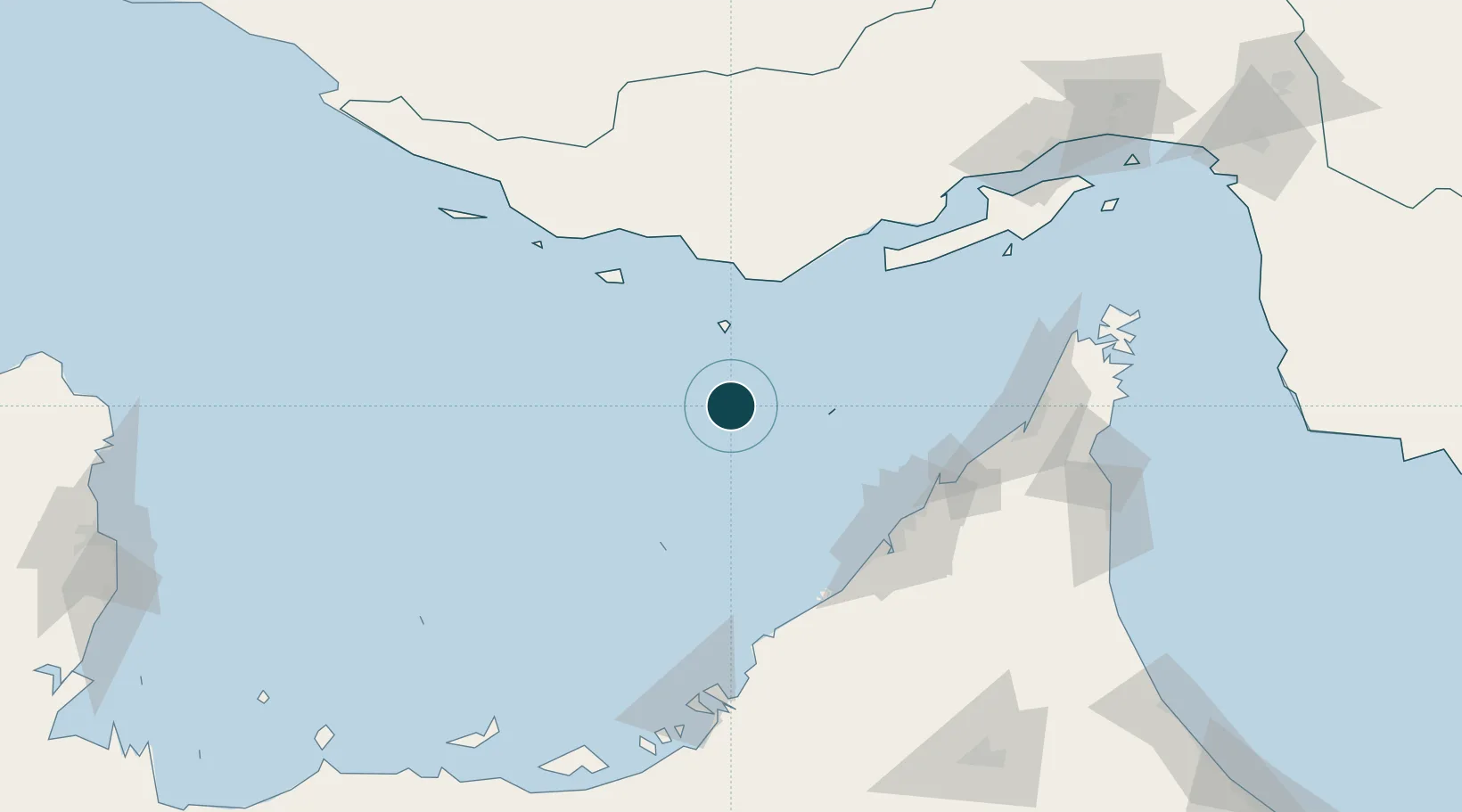
Water body
Persian Gulf; Indian Ocean
Tidal range
2 m
Overhead limit
Yes
Pilotage
Yes
Location
Nearby Logistics Neighbours
Ports
- 1Fateh Oil Terminal38 km
- 2Ash Shariqah103 km
- 3Dubayy103 km
- 4Ajman104 km
- 5Al Hamriyah Lpg Terminal105 km
Cities
- 1Abu Musa47 km
- 2Free Port101 km
- 3Hamriya Free Zone Port102 km
- 4Mina Rashid Port102 km
- 5Mina Khalid102 km
Airports
Trade Zones
- 1Kish Trade Industrial Free Zone91 km
- 2Dubai Maritime City100 km
- 3Ajman Free Zone105 km
- 4Hamriyah Free Zone106 km
- 5Dubai World Trade Centre Free Zone106 km
DatabookThe Record of Consolidated Knowledge
Iran beyond logistics?