Transport Functions
Multimodal
Hub Profile
Place type
Populated place
Region
Negeri Sembilan
Population
29,595
Time zone
Asia/Kuala_Lumpur
Elevation
46 m
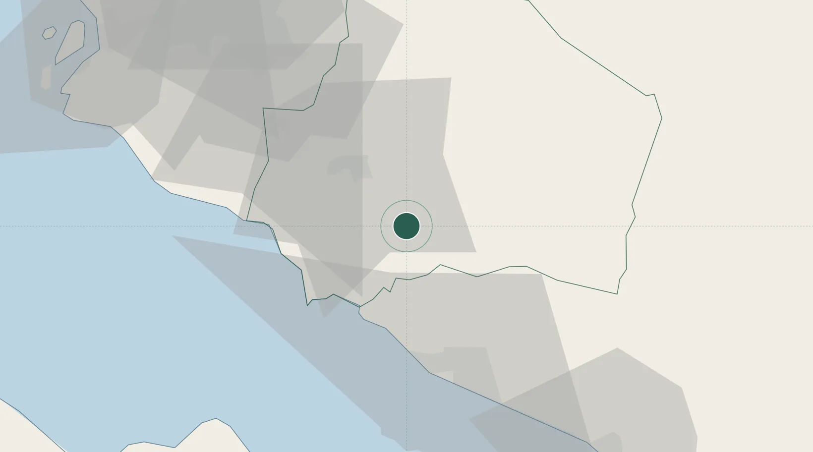
Location
Nearby Logistics Neighbours
Cities
- 1Senawang20 km
- 2Seremban24 km
- 3Alor Gajah27 km
- 4Sendayan Village30 km
- 5Sungai Udang37 km
Ports
- 1Port Dickson36 km
- 2Pelabuhan Sungai Udang37 km
- 3Melaka46 km
- 4Muar79 km
- 5Port Klang91 km
Airports
Trade Zones
DatabookThe Record of Consolidated Knowledge
Malaysia beyond logistics?