Export Processing Zone · Indonesia

Puri Industrial Park 2000 Active
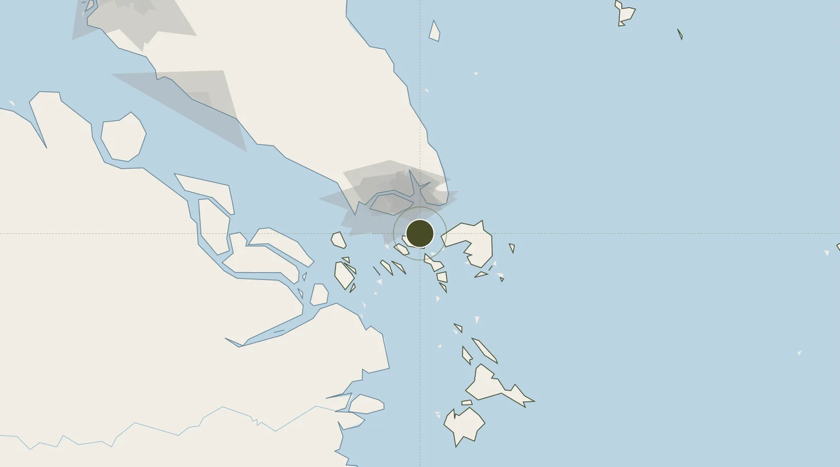
1.1157°, 104.0565°
24 ha
Zone area
15.7 km
Nearest port
7.0 km
Nearest airport

Gateway access

Nearest neighbours — logibook spatial index (haversine) over the source coordinates

Zone profile

Zone type
Export Processing Zone
Open Zone Map
Region
Kepulauan Riau
Open Zone Map
Status
Active
Open Zone Map
Management
Public-Private Partnership
Open Zone Map
Operator
PT Teluk Pantaian Indah
Open Zone Map
Legal framework
Law Of The Republic Of Indonesia Number 3 Of 2014 On Industrial Affairs
Open Zone Map

Location

Location of ozm-2429
Natural Earth 10m (public domain) · Kepulauan Riau · ozm-2429 · 1.12, 104.06GoogleOSMYandex

Nearby Logistics Neighbours

Ports
  1. 1Sekupang16 km
  2. 2Pulau Sambu18 km
  3. 3Tanjunguban19 km
  4. 4Keppel - (East Singapore)30 km
  5. 5Pulau Sebarok30 km
Nearest neighbours — logibook spatial index (haversine) over the source coordinates
Airports
  1. 1Hang Nadim International Airport7 km
  2. 2Changi Air Base (East)26 km
  3. 3Singapore Changi Airport27 km
  4. 4Paya Lebar Air Base32 km
  5. 5Seletar Airport40 km
Nearest neighbours — logibook spatial index (haversine) over the source coordinates
Cities
  1. 1Batam Island7 km
  2. 2Batu Ampar9 km
  3. 3Sekupang14 km
  4. 4Tanjunguban21 km
  5. 5Changi23 km
Nearest neighbours — logibook spatial index (haversine) over the source coordinates
Trade Zones
  1. 1Tunas Industrial Estate 21 km
  2. 2Cammo Industrial Park1 km
  3. 3Sarana Industrial Point2 km
  4. 4Batam-Bintan-Karimun Free Trade Zone2 km
  5. 5Citra Buana Centre Park III3 km
Nearest neighbours — logibook spatial index (haversine) over the source coordinates
DatabookThe Record of Consolidated Knowledge
Indonesia beyond logistics?
Browse databook

All Sources

Trade ZonesOpen Zone Map
CC BY
Portsthe NGA World Port Index
Public domain (US gov)
AirportsOurAirports
Public domain
LocationsUN/LOCODE
UN/LOCODE — free
← Indonesia trade zones