Diversified Zone · Indonesia

Cammo Industrial Park Under Development
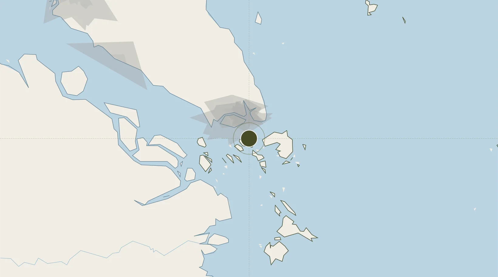
1.1124°, 104.0453°
152 ha
Zone area
14.5 km
Nearest port
8.3 km
Nearest airport

Gateway access

Nearest neighbours — logibook spatial index (haversine) over the source coordinates

Zone profile

Zone type
Diversified Zone
Open Zone Map
Region
Kepulauan Riau
Open Zone Map
Status
Under Development
Open Zone Map
Management
Public-Private Partnership
Open Zone Map
Operator
PT. Aaman Properti
Open Zone Map
Legal framework
Law Of The Republic Of Indonesia Number 3 Of 2014 On Industrial Affairs
Open Zone Map

Location

Location of ozm-2352
Natural Earth 10m (public domain) · Kepulauan Riau · ozm-2352 · 1.11, 104.05GoogleOSMYandex

Nearby Logistics Neighbours

Ports
  1. 1Sekupang15 km
  2. 2Pulau Sambu17 km
  3. 3Tanjunguban20 km
  4. 4Keppel - (East Singapore)29 km
  5. 5Pulau Sebarok29 km
Nearest neighbours — logibook spatial index (haversine) over the source coordinates
Airports
  1. 1Hang Nadim International Airport8 km
  2. 2Changi Air Base (East)26 km
  3. 3Singapore Changi Airport27 km
  4. 4Paya Lebar Air Base31 km
  5. 5Seletar Airport39 km
Nearest neighbours — logibook spatial index (haversine) over the source coordinates
Cities
  1. 1Batam Island6 km
  2. 2Batu Ampar9 km
  3. 3Sekupang13 km
  4. 4Tanjunguban22 km
  5. 5Changi23 km
Nearest neighbours — logibook spatial index (haversine) over the source coordinates
Trade Zones
  1. 1Puri Industrial Park 20001 km
  2. 2Citra Buana Centre Park III2 km
  3. 3Tunas Industrial Estate 22 km
  4. 4Sarana Industrial Point3 km
  5. 5Batam-Bintan-Karimun Free Trade Zone3 km
Nearest neighbours — logibook spatial index (haversine) over the source coordinates
DatabookThe Record of Consolidated Knowledge
Indonesia beyond logistics?
Browse databook

All Sources

Trade ZonesOpen Zone Map
CC BY
Portsthe NGA World Port Index
Public domain (US gov)
AirportsOurAirports
Public domain
LocationsUN/LOCODE
UN/LOCODE — free
← Indonesia trade zones