UN/LOCODE hub · India
INSJP

Surajpur

28.5167°, 77.4833°
2
Transport functions

Transport Functions

Road
Multimodal
UN/LOCODE

Hub Profile

Place type
Populated place
GeoNames
Region
Uttar Pradesh
GeoNames
Time zone
Asia/Kolkata
GeoNames
Elevation
202 m
GeoNames

Location

Location of INSJP
Natural Earth 10m (public domain) · Uttar Pradesh · INSJP · 28.52, 77.48GoogleOSMYandex

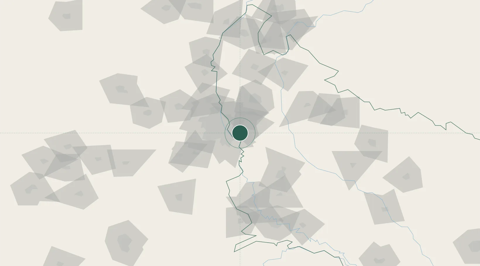
Nearby Logistics Neighbours

Cities
  1. 1Dadri1 km
  2. 2Dadri ICD/Noida5 km
  3. 3Greater Noida7 km
  4. 4Dadri Container Terminal7 km
  5. 5Piyala Block Hut8 km
Nearest neighbours — logibook spatial index (haversine) over the source coordinates
Ports
  1. 1Dahej907 km
  2. 2Bhavnagar918 km
  3. 3Navlakhi937 km
  4. 4Magdalla948 km
  5. 5Kandla949 km
Nearest neighbours — logibook spatial index (haversine) over the source coordinates
Airports
  1. 1Hindon Airport / Hindon Air Force Station25 km
  2. 2Safdarjung Airport28 km
  3. 3Indira Gandhi International Airport38 km
  4. 4Noida International Airport40 km
  5. 5Aligarh Airport98 km
Nearest neighbours — logibook spatial index (haversine) over the source coordinates
Trade Zones
  1. 1Moser Baer SEZ, Greater Noida2 km
  2. 2Vedanta Aluminium Limited2 km
  3. 3TCS Noida8 km
  4. 4Noida Special Economic Zone9 km
  5. 5Unitech Realty Projects Ltd.13 km
Nearest neighbours — logibook spatial index (haversine) over the source coordinates
DatabookThe Record of Consolidated Knowledge
India beyond logistics?
Browse databook

All Sources

LocationsUN/LOCODE
UN/LOCODE — free
Portsthe NGA World Port Index
Public domain (US gov)
AirportsOurAirports
Public domain
Trade Zonesthe World Bank SEZ database
CC BY 4.0
Trade ZonesOpen Zone Map
CC BY
← India locations