Specialized Zone · India

TCS Noida Under Development
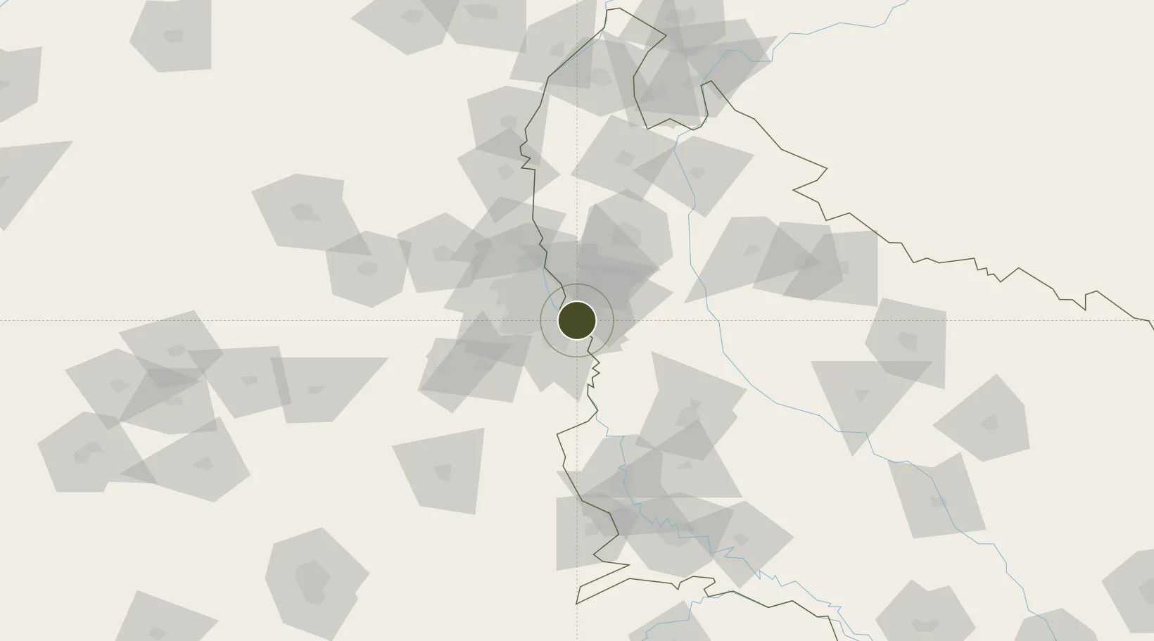
28.4995°, 77.4033°
30 ha
Zone area
900.9 km
Nearest port
21.7 km
Nearest airport

Gateway access

Nearest neighbours — logibook spatial index (haversine) over the source coordinates

Zone profile

Zone type
Specialized Zone
Open Zone Map
Specialization
IT
Open Zone Map
Region
Uttar Pradesh
Open Zone Map
Status
Under Development
Open Zone Map
Management
Private
Open Zone Map
Operator
Tata Consultancy Services Limited
Open Zone Map
Legal framework
LoA 23(6)/VSEZ/2006/SEZ dated 13.12.2006
Open Zone Map

Location

Location of ozm-2253
Natural Earth 10m (public domain) · Uttar Pradesh · ozm-2253 · 28.50, 77.40GoogleOSMYandex

Nearby Logistics Neighbours

Ports
  1. 1Dahej901 km
  2. 2Bhavnagar912 km
  3. 3Navlakhi930 km
  4. 4Kandla942 km
  5. 5Magdalla942 km
Nearest neighbours — logibook spatial index (haversine) over the source coordinates
Airports
  1. 1Safdarjung Airport22 km
  2. 2Hindon Airport / Hindon Air Force Station24 km
  3. 3Indira Gandhi International Airport31 km
  4. 4Noida International Airport41 km
  5. 5Aligarh Airport102 km
Nearest neighbours — logibook spatial index (haversine) over the source coordinates
Cities
  1. 1Greater Noida4 km
  2. 2Surajpur8 km
  3. 3Dadri9 km
  4. 4Piyala Block Hut12 km
  5. 5Dadri ICD/Noida13 km
Nearest neighbours — logibook spatial index (haversine) over the source coordinates
Trade Zones
  1. 1Noida Special Economic Zone5 km
  2. 2Vedanta Aluminium Limited7 km
  3. 3Moser Baer SEZ, Greater Noida7 km
  4. 4Unitech Realty Projects Ltd.7 km
  5. 5Hcl Technologies8 km
Nearest neighbours — logibook spatial index (haversine) over the source coordinates
DatabookThe Record of Consolidated Knowledge
India beyond logistics?
Browse databook

All Sources

Trade ZonesOpen Zone Map
CC BY
Portsthe NGA World Port Index
Public domain (US gov)
AirportsOurAirports
Public domain
LocationsUN/LOCODE
UN/LOCODE — free
← India trade zones