Specialized Zone · India

Impetus Infotech (India) Private Limited Active
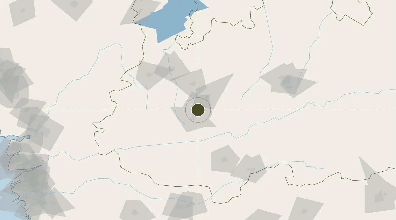
22.7275°, 75.8884°
10 ha
Zone area
363.8 km
Nearest port
9.0 km
Nearest airport

Gateway access

Nearest neighbours — logibook spatial index (haversine) over the source coordinates

Zone profile

Zone type
Specialized Zone
Open Zone Map
Specialization
IT
Open Zone Map
Region
Madhya Pradesh
Open Zone Map
Status
Active
Open Zone Map
Management
Private
Open Zone Map
Operator
Impetus Infotech (India) Private Limited
Open Zone Map
Legal framework
Madhya Pradesh Special Economic Zone Policy
Open Zone Map

Location

Location of ozm-2204
Natural Earth 10m (public domain) · Madhya Pradesh · ozm-2204 · 22.73, 75.89GoogleOSMYandex

Nearby Logistics Neighbours

Ports
  1. 1Dahej364 km
  2. 2Magdalla368 km
  3. 3Hazira382 km
  4. 4Bhavnagar391 km
  5. 5Pipavav Bandar494 km
Nearest neighbours — logibook spatial index (haversine) over the source coordinates
Airports
  1. 1Devi Ahilya Bai Holkar International Airport9 km
  2. 2Raja Bhoj International Airport161 km
  3. 3Jalgaon Airport198 km
  4. 4Akola Airport256 km
  5. 5Kota Airport271 km
Nearest neighbours — logibook spatial index (haversine) over the source coordinates
Cities
  1. 1Dhannad/Indore5 km
  2. 2IIPL SEZ/Indore6 km
  3. 3INFOSYS SEZ/Indore6 km
  4. 4TCS SEZ/Indore6 km
  5. 5Indore22 km
Nearest neighbours — logibook spatial index (haversine) over the source coordinates
Trade Zones
  1. 1Crystal IT Park SEZ (M.P. Audoyogik Kendra Vikas Nigam(Indore) Ltd.)5 km
  2. 2Parsvnath City14 km
  3. 3Indore Special Economic Zone28 km
  4. 4L & T Ltd. Vill Ankhol, Vadodara274 km
  5. 5Jubilant Infrastructure Ltd.324 km
Nearest neighbours — logibook spatial index (haversine) over the source coordinates
DatabookThe Record of Consolidated Knowledge
India beyond logistics?
Browse databook

All Sources

Trade ZonesOpen Zone Map
CC BY
Portsthe NGA World Port Index
Public domain (US gov)
AirportsOurAirports
Public domain
LocationsUN/LOCODE
UN/LOCODE — free
← India trade zones