Large airport · India

Raja Bhoj International AirportVABP
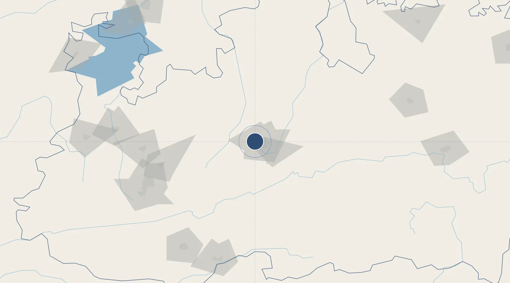
23.2875°, 77.3374°
9,022 ft
Longest runway
1
Runways
1,711 ft
Elevation

Runway & Layout

Raja Bhoj International Airport runway & taxiway layout
Runway & taxiway layout — OpenStreetMap (ODbL) / OurAirports

Radio Frequencies

ATIS
127.25 MHz
TWR
118.05 MHz
APP
118.05 MHz
VOR
117.1 MHz
BPL
OurAirports

Navaids

BPL VOR-DME Bhopal 117.10 MHz
OurAirports

Runways · 1

RunwayDimensions SurfaceTrue headingLit
12/30 9,022 × 148ft Asphalt 118°
OurAirports

Airport Specifications

IATA code
BHO
OurAirports
ICAO code
VABP
OurAirports
Airport class
Large airport
OurAirports
Scheduled service
Yes
OurAirports
Runway surface
Asphalt
OurAirports
Served city
Bhopal
OurAirports

Location

Location of VABP
Natural Earth 10m (public domain) · Madhya Pradesh · VABP · 23.29, 77.34GoogleOSMYandex

Nearby Logistics Neighbours

Airports
  1. 1Devi Ahilya Bai Holkar International Airport169 km
  2. 2Kota Airport257 km
  3. 3Jabalpur Airport278 km
  4. 4Akola Airport289 km
  5. 5Dr. Babasaheb Ambedkar International Airport301 km
Nearest neighbours — logibook spatial index (haversine) over the source coordinates
Cities
  1. 1Powarkheda ICD/Hoshangabad81 km
  2. 2Dhannad/Indore166 km
  3. 3IIPL SEZ/Indore167 km
  4. 4INFOSYS SEZ/Indore167 km
  5. 5TCS SEZ/Indore167 km
Nearest neighbours — logibook spatial index (haversine) over the source coordinates
Ports
  1. 1Dahej524 km
  2. 2Magdalla529 km
  3. 3Hazira543 km
  4. 4Bhavnagar551 km
  5. 5Pipavav Bandar655 km
Nearest neighbours — logibook spatial index (haversine) over the source coordinates
Trade Zones
  1. 1Parsvnath City150 km
  2. 2Impetus Infotech (India) Private Limited161 km
  3. 3Crystal IT Park SEZ (M.P. Audoyogik Kendra Vikas Nigam(Indore) Ltd.)164 km
  4. 4Indore Special Economic Zone189 km
  5. 5Mihan Special Economic Zone304 km
Nearest neighbours — logibook spatial index (haversine) over the source coordinates
DatabookThe Record of Consolidated Knowledge
India beyond logistics?
Browse databook

All Sources

AirportsOurAirports
Public domain
Portsthe NGA World Port Index
Public domain (US gov)
LocationsUN/LOCODE
UN/LOCODE — free
Trade Zonesthe World Bank SEZ database
CC BY 4.0
Trade ZonesOpen Zone Map
CC BY
InfrastructureOpenStreetMap
ODbL 1.0
← India airports