Medium airport · India
Kota AirportVIKO
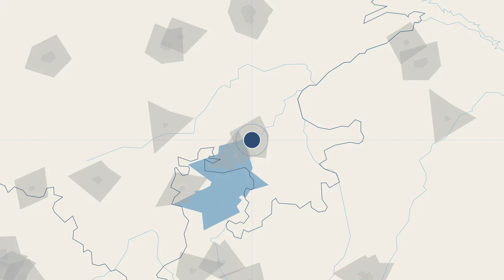
25.1602°, 75.8456°
4,078 ft
Longest runway
1
Runways
896 ft
Elevation
Runway & Layout

Radio Frequencies
TWR
119 MHz
Navaids
KO NDB Kota 284 kHz
Runways · 1
| Runway | Dimensions | Surface | True heading | Lit |
|---|---|---|---|---|
| 08/26 | 4,078 × 150ft | Asphalt | 076° | — |
Airport Specifications
IATA code
KTU
ICAO code
VIKO
Airport class
Medium airport
Scheduled service
No
Runway surface
Asphalt
Served city
Kota
Location
Nearby Logistics Neighbours
Airports
- 1Jaipur International Airport185 km
- 2Kishangarh Airport Ajmer190 km
- 3Maharana Pratap Airport206 km
- 4Raja Bhoj International Airport257 km
- 5Gwalior Airport270 km
Cities
- 1Kota8 km
- 2Jaipur-Sitapura21 km
- 3Riico SEZ-I/Sitapura68 km
- 4Bhilwara77 km
- 5Tonk112 km
Trade Zones
DatabookThe Record of Consolidated Knowledge
India beyond logistics?