Transport Functions
Road
Airport
Multimodal
Hub Profile
Place type
Populated place
Region
Madhya Pradesh
Population
1,994,397
Time zone
Asia/Kolkata
Elevation
550 m
Logistics facilities
8
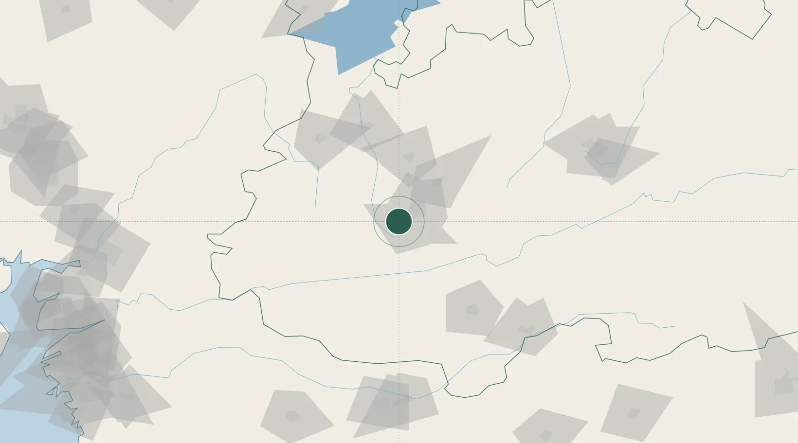
Location
Nearby Logistics Neighbours
Cities
- 1IIPL SEZ/Indore17 km
- 2INFOSYS SEZ/Indore17 km
- 3TCS SEZ/Indore17 km
- 4Dhannad/Indore17 km
- 5Kheda/Dhar42 km
Ports
- 1Dahej343 km
- 2Magdalla346 km
- 3Hazira361 km
- 4Bhavnagar370 km
- 5Pipavav Bandar473 km
Airports
- 1Devi Ahilya Bai Holkar International Airport15 km
- 2Raja Bhoj International Airport182 km
- 3Jalgaon Airport185 km
- 4Akola Airport255 km
- 5Vadodara International Airport257 km
DatabookThe Record of Consolidated Knowledge
India beyond logistics?