Medium airport · India
Akola AirportVAAK
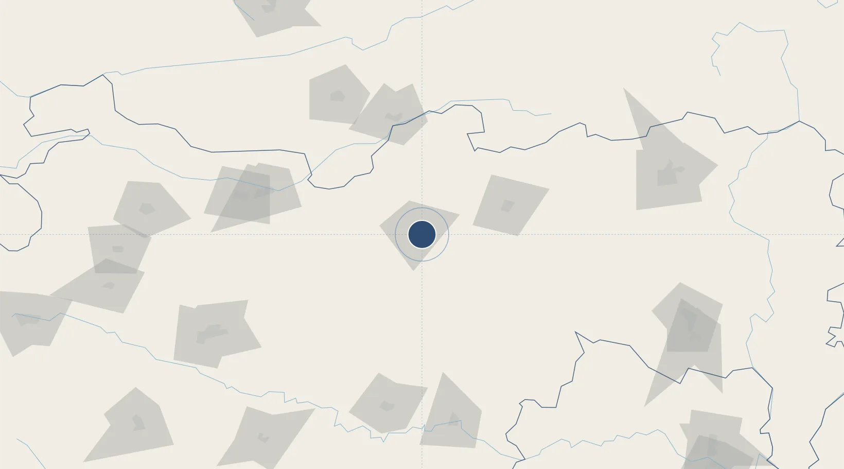
20.6989°, 77.0569°
4,600 ft
Longest runway
1
Runways
999 ft
Elevation
Runway & Layout

Navaids
KL NDB Akola 211 kHz
Runways · 1
| Runway | Dimensions | Surface | True heading | Lit |
|---|---|---|---|---|
| 10/28 | 4,600 × 145ft | Asphalt / concrete | 103° | — |
Airport Specifications
IATA code
AKD
ICAO code
VAAK
Airport class
Medium airport
Scheduled service
No
Runway surface
Asphalt / concrete
Served city
Akola
Location
Nearby Logistics Neighbours
Airports
- 1Sant Gadge Baba Yavatmal Airport125 km
- 2Jalgaon Airport151 km
- 3Nanded Airport171 km
- 4Aurangabad Airport197 km
- 5Dr. Babasaheb Ambedkar International Airport211 km
Cities
- 1Gurgaon154 km
- 2WWIL ICD/Wardha162 km
- 3Selu172 km
- 4Nanded175 km
- 5Ambad178 km
Ports
- 1Magdalla450 km
- 2Hazira462 km
- 3Jawaharlal Nehru Port (Nhava Shiva)472 km
- 4Mumbai (Bombay)479 km
- 5Dahej482 km
DatabookThe Record of Consolidated Knowledge
India beyond logistics?