Specialized Zone · India

Parsvnath City Active
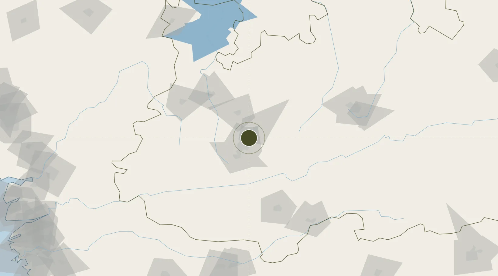
22.8340°, 75.9550°
10 ha
Zone area
374.0 km
Nearest port
20.2 km
Nearest airport

Gateway access

Nearest neighbours — logibook spatial index (haversine) over the source coordinates

Zone profile

Zone type
Specialized Zone
Open Zone Map
Specialization
Biotech
Open Zone Map
Region
Madhya Pradesh
Open Zone Map
Status
Active
Open Zone Map
Management
Private
Open Zone Map
Operator
Parsvnath Infra Ltd.
Open Zone Map
Legal framework
Madhya Pradesh Economic Zone Policy
Open Zone Map

Location

Location of ozm-2160
Natural Earth 10m (public domain) · Madhya Pradesh · ozm-2160 · 22.83, 75.95GoogleOSMYandex

Nearby Logistics Neighbours

Ports
  1. 1Dahej374 km
  2. 2Magdalla380 km
  3. 3Hazira394 km
  4. 4Bhavnagar401 km
  5. 5Pipavav Bandar505 km
Nearest neighbours — logibook spatial index (haversine) over the source coordinates
Airports
  1. 1Devi Ahilya Bai Holkar International Airport20 km
  2. 2Raja Bhoj International Airport150 km
  3. 3Jalgaon Airport211 km
  4. 4Kota Airport259 km
  5. 5Akola Airport263 km
Nearest neighbours — logibook spatial index (haversine) over the source coordinates
Cities
  1. 1Dhannad/Indore18 km
  2. 2IIPL SEZ/Indore18 km
  3. 3INFOSYS SEZ/Indore18 km
  4. 4TCS SEZ/Indore18 km
  5. 5Indore35 km
Nearest neighbours — logibook spatial index (haversine) over the source coordinates
Trade Zones
  1. 1Impetus Infotech (India) Private Limited14 km
  2. 2Crystal IT Park SEZ (M.P. Audoyogik Kendra Vikas Nigam(Indore) Ltd.)19 km
  3. 3Indore Special Economic Zone40 km
  4. 4L & T Ltd. Vill Ankhol, Vadodara283 km
  5. 5Sterling SEZ Pvt.Ltd.333 km
Nearest neighbours — logibook spatial index (haversine) over the source coordinates
DatabookThe Record of Consolidated Knowledge
India beyond logistics?
Browse databook

All Sources

Trade ZonesOpen Zone Map
CC BY
Portsthe NGA World Port Index
Public domain (US gov)
AirportsOurAirports
Public domain
LocationsUN/LOCODE
UN/LOCODE — free
← India trade zones