UN/LOCODE hub · India
INDHA

Dhannad/Indore

22.7212°, 75.8365°
1
Transport functions

Transport Functions

Multimodal
UN/LOCODE

Hub Profile

Region
MP
GeoNames
Logistics facilities
1
UN/LOCODE

Location

Location of INDHA
Natural Earth 10m (public domain) · MP · INDHA · 22.72, 75.84GoogleOSMYandex

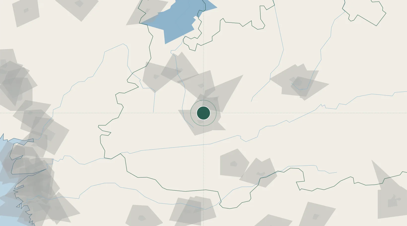
Nearby Logistics Neighbours

Cities
  1. 1IIPL SEZ/Indore1 km
  2. 2INFOSYS SEZ/Indore1 km
  3. 3TCS SEZ/Indore1 km
  4. 4Indore17 km
  5. 5Kheda/Dhar57 km
Nearest neighbours — logibook spatial index (haversine) over the source coordinates
Ports
  1. 1Dahej359 km
  2. 2Magdalla363 km
  3. 3Hazira377 km
  4. 4Bhavnagar386 km
  5. 5Pipavav Bandar489 km
Nearest neighbours — logibook spatial index (haversine) over the source coordinates
Airports
  1. 1Devi Ahilya Bai Holkar International Airport4 km
  2. 2Raja Bhoj International Airport166 km
  3. 3Jalgaon Airport197 km
  4. 4Akola Airport258 km
  5. 5Kota Airport271 km
Nearest neighbours — logibook spatial index (haversine) over the source coordinates
Trade Zones
  1. 1Impetus Infotech (India) Private Limited5 km
  2. 2Crystal IT Park SEZ (M.P. Audoyogik Kendra Vikas Nigam(Indore) Ltd.)5 km
  3. 3Parsvnath City18 km
  4. 4Indore Special Economic Zone23 km
  5. 5L & T Ltd. Vill Ankhol, Vadodara269 km
Nearest neighbours — logibook spatial index (haversine) over the source coordinates
DatabookThe Record of Consolidated Knowledge
India beyond logistics?
Browse databook

All Sources

LocationsUN/LOCODE
UN/LOCODE — free
Portsthe NGA World Port Index
Public domain (US gov)
AirportsOurAirports
Public domain
Trade Zonesthe World Bank SEZ database
CC BY 4.0
Trade ZonesOpen Zone Map
CC BY
← India locations