Export Processing Zone · India

Manikanchan SEZ, W. Bengal Active
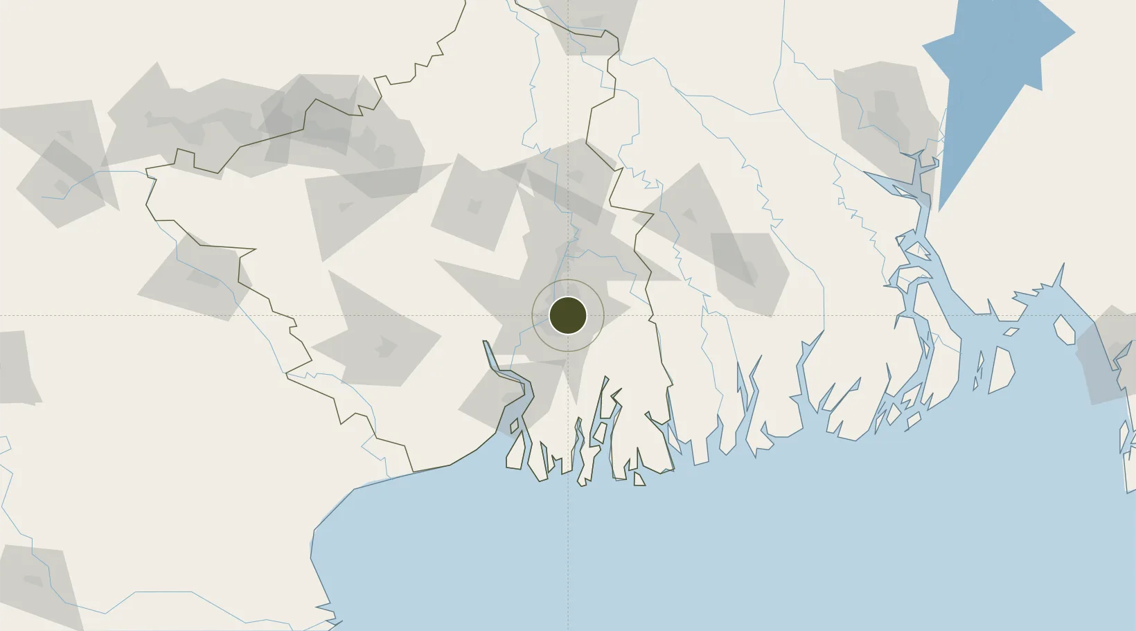
22.5785°, 88.4312°
2 ha
Zone area
10.5 km
Nearest port
8.6 km
Nearest airport

Gateway access

Nearest neighbours — logibook spatial index (haversine) over the source coordinates

Zone profile

Zone type
Export Processing Zone
Open Zone Map
Region
West Bengal
Open Zone Map
Status
Active
Open Zone Map
Management
Public-Private Partnership
Open Zone Map
Operator
West Bengal industrial developement corporation
Open Zone Map
Legal framework
West Bengal Special Economic Zones Act 2003
Open Zone Map

Location

Location of ozm-2133
Natural Earth 10m (public domain) · West Bengal · ozm-2133 · 22.58, 88.43GoogleOSMYandex

Nearby Logistics Neighbours

Ports
  1. 1Calcutta11 km
  2. 2Haldia Port72 km
  3. 3Mongla121 km
  4. 4Dhamra248 km
  5. 5Paradip314 km
Nearest neighbours — logibook spatial index (haversine) over the source coordinates
Airports
  1. 1Netaji Subhash Chandra Bose International Airport9 km
  2. 2Jessore Airport101 km
  3. 3Panagarh Air Force Station143 km
  4. 4Kazi Nazrul Islam Airport168 km
  5. 5Ishurdi Airport186 km
Nearest neighbours — logibook spatial index (haversine) over the source coordinates
Cities
  1. 1Kolkata IT Park/Bantala7 km
  2. 2Wipro SEZ/Kolkata7 km
  3. 3Kolkata (ex Calcutta)12 km
  4. 4Alipore14 km
  5. 5Garden Reach15 km
Nearest neighbours — logibook spatial index (haversine) over the source coordinates
Trade Zones
  1. 1Manikanchan Special Economic Zone0 km
  2. 2Salt Lake Electronic City0 km
  3. 3Unitech Hi-tech Structures Ltd.5 km
  4. 4Tata Consultancy Services Limited6 km
  5. 5Falta Special Economic Zone7 km
Nearest neighbours — logibook spatial index (haversine) over the source coordinates
DatabookThe Record of Consolidated Knowledge
India beyond logistics?
Browse databook

All Sources

Trade ZonesOpen Zone Map
CC BY
Portsthe NGA World Port Index
Public domain (US gov)
AirportsOurAirports
Public domain
LocationsUN/LOCODE
UN/LOCODE — free
← India trade zones