Export Processing Zone · India

Unitech Hi-tech Structures Ltd. Active
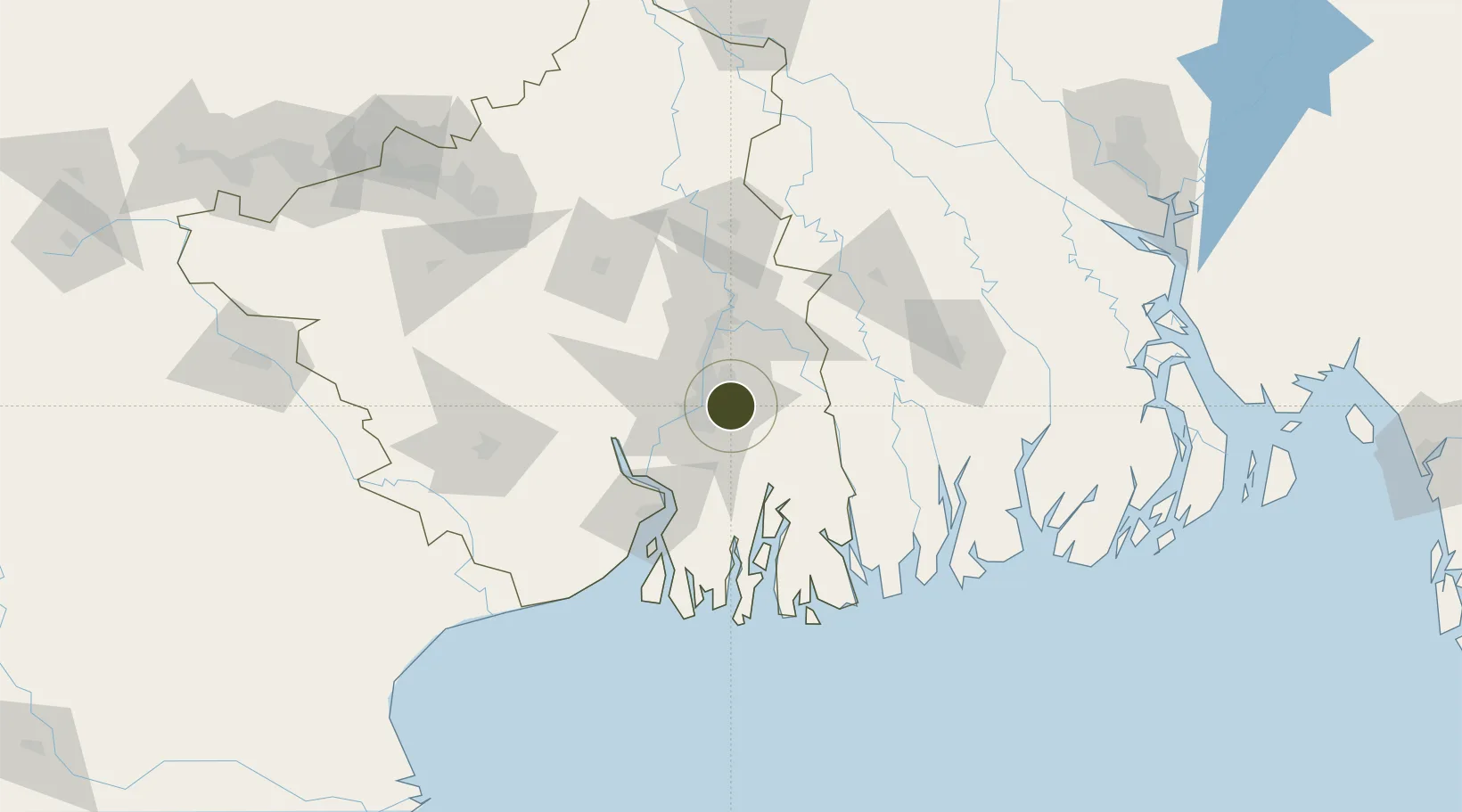
22.5754°, 88.4797°
18 ha
Zone area
15.3 km
Nearest port
9.3 km
Nearest airport

Gateway access

Nearest neighbours — logibook spatial index (haversine) over the source coordinates

Zone profile

Zone type
Export Processing Zone
Open Zone Map
Region
West Bengal
Open Zone Map
Status
Active
Open Zone Map
Management
Private
Open Zone Map
Operator
Unitech Hi-tech Structures Ltd.
Open Zone Map
Legal framework
West Bengal Special Economic Zones Act 2003
Open Zone Map

Location

Location of ozm-2138
Natural Earth 10m (public domain) · West Bengal · ozm-2138 · 22.58, 88.48GoogleOSMYandex

Nearby Logistics Neighbours

Ports
  1. 1Calcutta15 km
  2. 2Haldia Port74 km
  3. 3Mongla116 km
  4. 4Dhamra250 km
  5. 5Paradip317 km
Nearest neighbours — logibook spatial index (haversine) over the source coordinates
Airports
  1. 1Netaji Subhash Chandra Bose International Airport9 km
  2. 2Jessore Airport97 km
  3. 3Panagarh Air Force Station147 km
  4. 4Kazi Nazrul Islam Airport172 km
  5. 5Ishurdi Airport185 km
Nearest neighbours — logibook spatial index (haversine) over the source coordinates
Cities
  1. 1Kolkata IT Park/Bantala12 km
  2. 2Wipro SEZ/Kolkata12 km
  3. 3Kolkata (ex Calcutta)17 km
  4. 4Alipore18 km
  5. 5Garden Reach20 km
Nearest neighbours — logibook spatial index (haversine) over the source coordinates
Trade Zones
  1. 1Tata Consultancy Services Limited1 km
  2. 2Manikanchan SEZ, W. Bengal5 km
  3. 3Manikanchan Special Economic Zone5 km
  4. 4Salt Lake Electronic City5 km
  5. 5Falta Special Economic Zone12 km
Nearest neighbours — logibook spatial index (haversine) over the source coordinates
DatabookThe Record of Consolidated Knowledge
India beyond logistics?
Browse databook

All Sources

Trade ZonesOpen Zone Map
CC BY
Portsthe NGA World Port Index
Public domain (US gov)
AirportsOurAirports
Public domain
LocationsUN/LOCODE
UN/LOCODE — free
← India trade zones