UN/LOCODE hub · Haiti
HTPLH

Lafito Port

18.6833°, -72.3500°
1
Transport functions

Transport Functions

Port
UN/LOCODE

Hub Profile

Region
OU
GeoNames

Location

Location of HTPLH
Natural Earth 10m (public domain) · OU · HTPLH · 18.68, -72.35GoogleOSMYandex

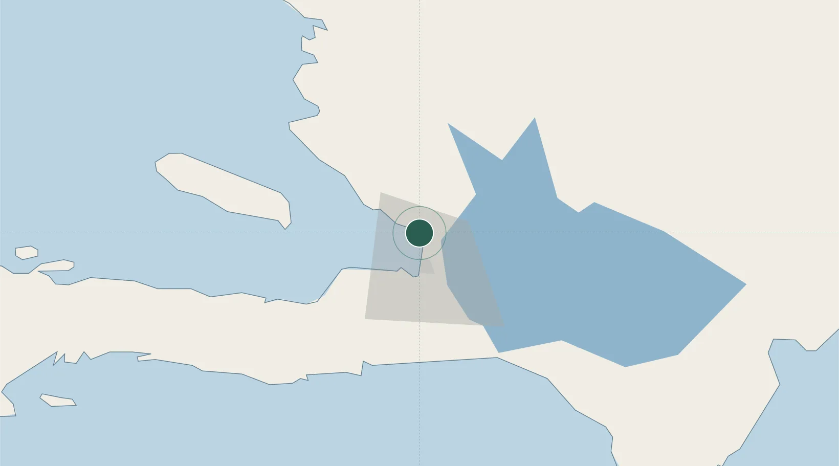
Nearby Logistics Neighbours

Cities
  1. 1Lafiteau3 km
  2. 2Port-au-Prince13 km
  3. 3Turgeau17 km
  4. 4Santo26 km
  5. 5Leogane36 km
Nearest neighbours — logibook spatial index (haversine) over the source coordinates
Ports
  1. 1Port Au Prince15 km
  2. 2Jacmel54 km
  3. 3Petit Goave61 km
  4. 4Miragoane82 km
  5. 5Cabo Rojo113 km
Nearest neighbours — logibook spatial index (haversine) over the source coordinates
Airports
  1. 1Toussaint Louverture International Airport13 km
  2. 2Jacmel Airport52 km
  3. 3Cabo Rojo Airport112 km
  4. 4Cap Haitien International Airport117 km
  5. 5Maria Montez International Airport138 km
Nearest neighbours — logibook spatial index (haversine) over the source coordinates
Trade Zones
  1. 1Lafito Port Free Zone1 km
  2. 2FTZ Hispaniola12 km
  3. 3Zone Franche Santo-Dujour (FTZ Santo Dujour)14 km
  4. 4FTZ SIDSA (Société Immobilière de Développement SA)16 km
  5. 5FTZ de Digneron21 km
Nearest neighbours — logibook spatial index (haversine) over the source coordinates
DatabookThe Record of Consolidated Knowledge
Haiti beyond logistics?
Browse databook

All Sources

LocationsUN/LOCODE
UN/LOCODE — free
Portsthe NGA World Port Index
Public domain (US gov)
AirportsOurAirports
Public domain
Trade Zonesthe World Bank SEZ database
CC BY 4.0
Trade ZonesOpen Zone Map
CC BY
← Haiti locations