Channel & Berth Profile
Pilotage, Tugs & Services
Pilotage compulsoryYES
Pilotage availableYES
Potable waterYES
MedicalYES
Facilities & Capabilities
Container—
Ro-Ro—
Liquid bulk—
Dry bulk—
Oil terminal—
Break bulk—
Dry dock—
Repairs—
Bunkering—
Rail link—
Dangerous cargo—
ISPS security—
Harbour Specifications
Harbour size
Very Small
Harbour type
Open Roadstead
Shelter
Good
Water body
Caribbean Sea; North Atlantic Ocean
Tidal range
1 m
Overhead limit
No
Pilotage
Yes
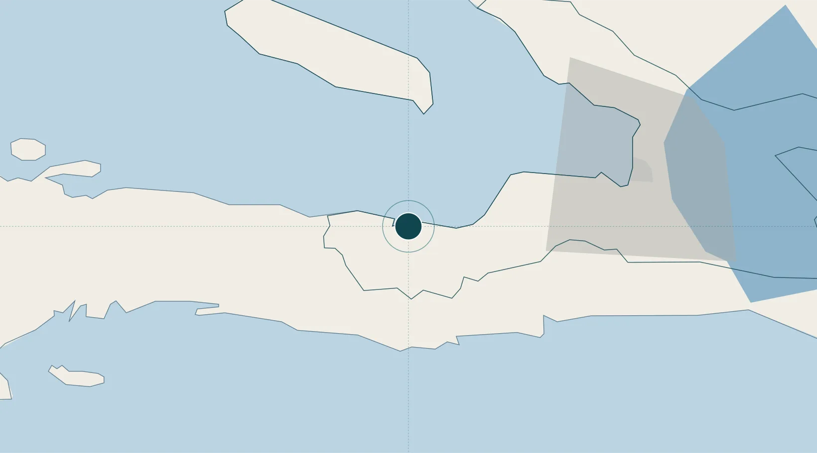
Location
Nearby Logistics Neighbours
Ports
- 1Miragoane23 km
- 2Jacmel42 km
- 3Port Au Prince56 km
- 4Cabo Rojo141 km
- 5Cap Haitien164 km
Cities
- 1Leogane26 km
- 2Santo41 km
- 3Port-au-Prince58 km
- 4Turgeau59 km
- 5Lafiteau60 km
Airports
- 1Jacmel Airport43 km
- 2Toussaint Louverture International Airport63 km
- 3Antoine-Simon International Airport99 km
- 4Jérémie Airport140 km
- 5Cabo Rojo Airport141 km
Trade Zones
DatabookThe Record of Consolidated Knowledge
Haiti beyond logistics?