Transport Functions
Rail
Road
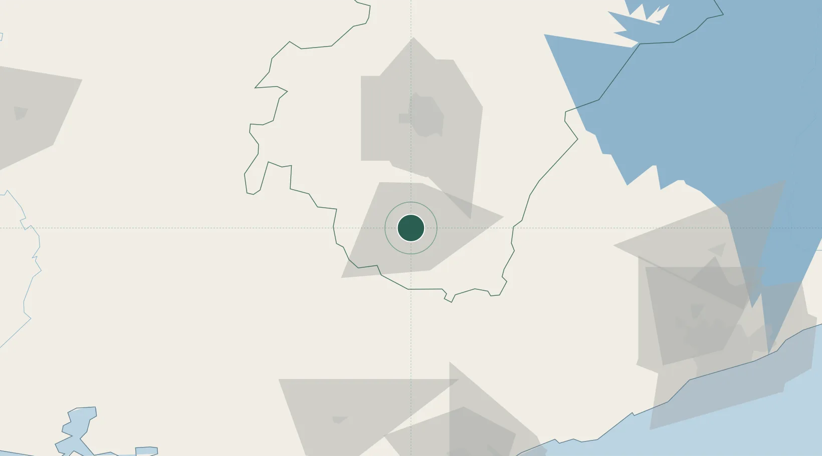
Hub Profile
Place type
Populated place
Region
Western
Time zone
Africa/Accra
Elevation
41 m
Location
Nearby Logistics Neighbours
Ports
- 1Saltpond131 km
- 2Sekondi139 km
- 3Takoradi147 km
- 4Tema197 km
- 5Port Bouet276 km
Airports
- 1Prempeh I International Airport58 km
- 2Takoradi Airport146 km
- 3Sunyani Airport148 km
- 4Kotoka International Airport179 km
- 5Ho Airport247 km
Trade Zones
- 1Ashanti Technology Park62 km
- 2Shama Export Processing Zone145 km
- 3Sekondi Export Processing Zone146 km
- 4Tema Export Processing Zone195 km
- 5Cape Coast ICT Park201 km
DatabookThe Record of Consolidated Knowledge
Ghana beyond logistics?