Export Processing Zone · Ghana

Shama Export Processing Zone Active
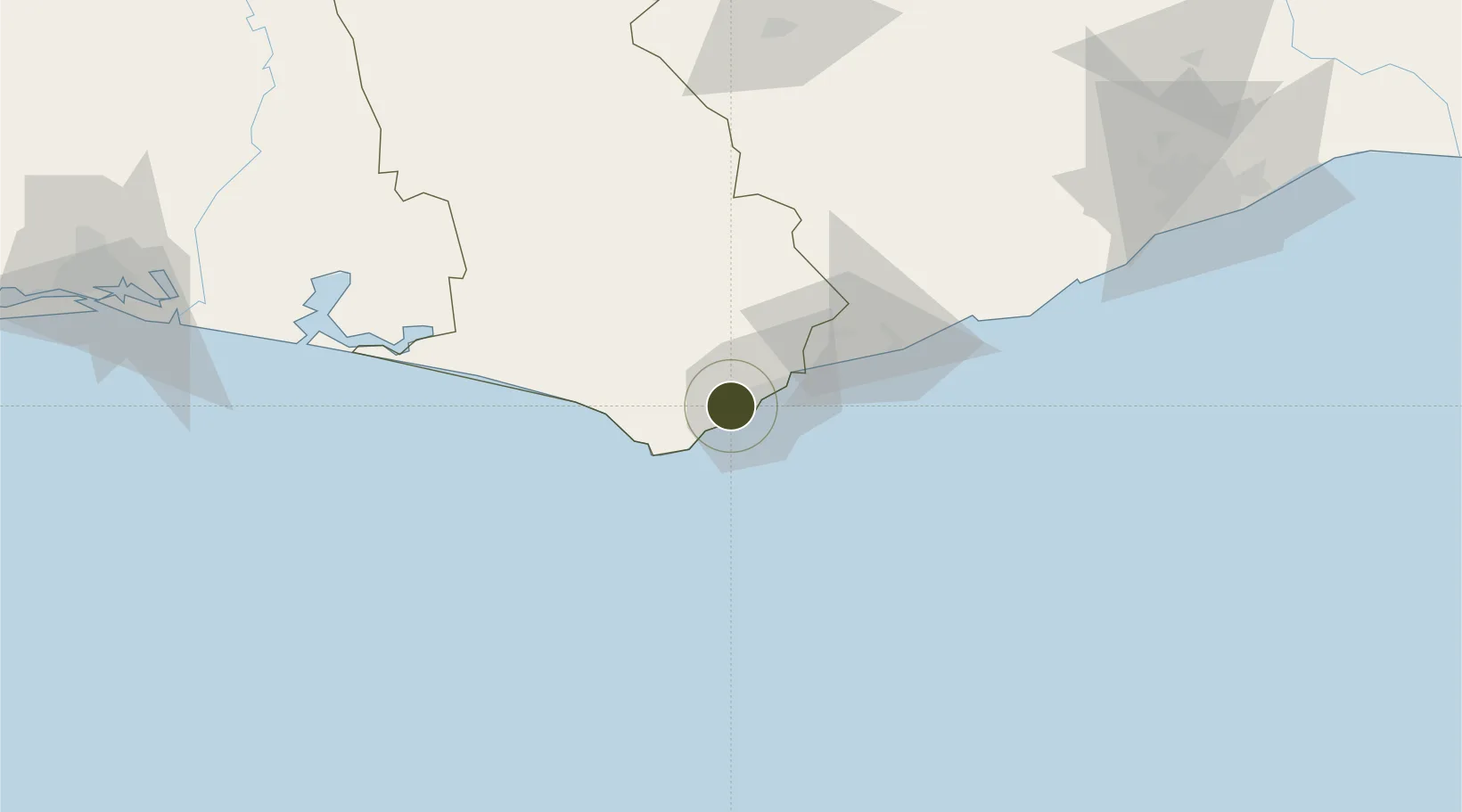
4.9064°, -1.8240°
1,133 ha
Zone area
10.4 km
Nearest port
5.6 km
Nearest airport

Gateway access

Nearest neighbours — logibook spatial index (haversine) over the source coordinates

Zone profile

Zone type
Export Processing Zone
Open Zone Map
Region
Western
Open Zone Map
Status
Active
Open Zone Map
Management
Public
Open Zone Map
Operator
Ghana Free Zone Authority
Open Zone Map
Legal framework
Ghana Free Zone Act of 1995
Open Zone Map

Location

Location of ozm-2049
Natural Earth 10m (public domain) · Western · ozm-2049 · 4.91, -1.82GoogleOSMYandex

Nearby Logistics Neighbours

Ports
  1. 1Takoradi10 km
  2. 2Sekondi15 km
  3. 3Saltpond92 km
  4. 4Tema219 km
  5. 5Port Bouet240 km
Nearest neighbours — logibook spatial index (haversine) over the source coordinates
Airports
  1. 1Takoradi Airport6 km
  2. 2Kotoka International Airport199 km
  3. 3Prempeh I International Airport203 km
  4. 4Félix-Houphouët-Boigny International Airport236 km
  5. 5Sunyani Airport279 km
Nearest neighbours — logibook spatial index (haversine) over the source coordinates
Cities
  1. 1Takoradi7 km
  2. 2Katamanso143 km
  3. 3Obuasi145 km
  4. 4Ahinsan162 km
  5. 5Assinie-Mafia163 km
Nearest neighbours — logibook spatial index (haversine) over the source coordinates
Trade Zones
  1. 1Sekondi Export Processing Zone9 km
  2. 2Bonoua Industrial Park198 km
  3. 3Ashanti Technology Park204 km
  4. 4Mahatma Ghandi Free Trade Zone217 km
  5. 5Tema Export Processing Zone221 km
Nearest neighbours — logibook spatial index (haversine) over the source coordinates
DatabookThe Record of Consolidated Knowledge
Ghana beyond logistics?
Browse databook

All Sources

Trade ZonesOpen Zone Map
CC BY
Portsthe NGA World Port Index
Public domain (US gov)
AirportsOurAirports
Public domain
LocationsUN/LOCODE
UN/LOCODE — free
← Ghana trade zones