Transport Functions
Multimodal
Hub Profile
Region
AH
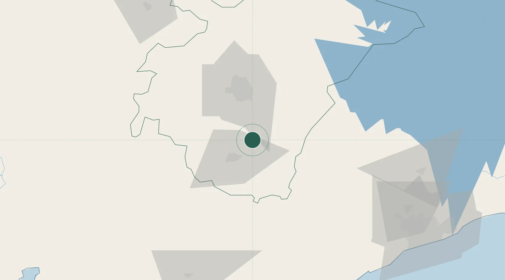
Location
Nearby Logistics Neighbours
Ports
- 1Saltpond136 km
- 2Sekondi155 km
- 3Takoradi163 km
- 4Tema187 km
- 5Port Bouet297 km
Airports
- 1Prempeh I International Airport43 km
- 2Sunyani Airport145 km
- 3Takoradi Airport162 km
- 4Kotoka International Airport170 km
- 5Ho Airport228 km
Trade Zones
- 1Ashanti Technology Park42 km
- 2Sekondi Export Processing Zone162 km
- 3Shama Export Processing Zone162 km
- 4Tema Export Processing Zone184 km
- 5Cape Coast ICT Park190 km
DatabookThe Record of Consolidated Knowledge
Ghana beyond logistics?