Transport Functions
Rail
Road
Hub Profile
Place type
Populated place
Region
Ashanti
Time zone
Africa/Accra
Elevation
257 m
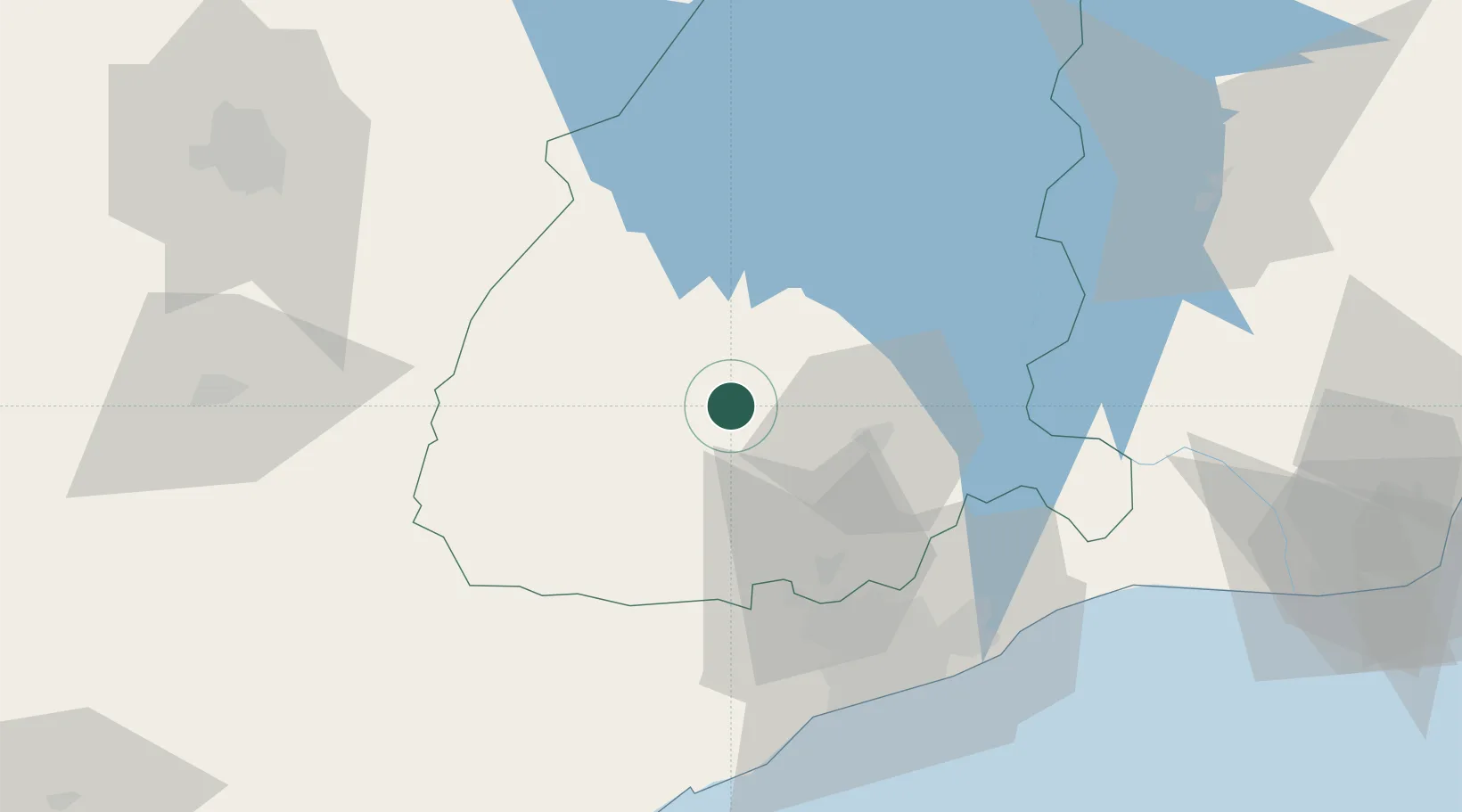
Location
Nearby Logistics Neighbours
Airports
- 1Kotoka International Airport76 km
- 2Ho Airport128 km
- 3Prempeh I International Airport130 km
- 4Takoradi Airport196 km
- 5Lomé–Tokoin International Airport200 km
Trade Zones
- 1Tema Export Processing Zone82 km
- 2Cape Coast ICT Park85 km
- 3Dawa Industrial Zone100 km
- 4Ashanti Technology Park111 km
- 5Sekondi Export Processing Zone194 km
DatabookThe Record of Consolidated Knowledge
Ghana beyond logistics?