Transport Functions
Multimodal
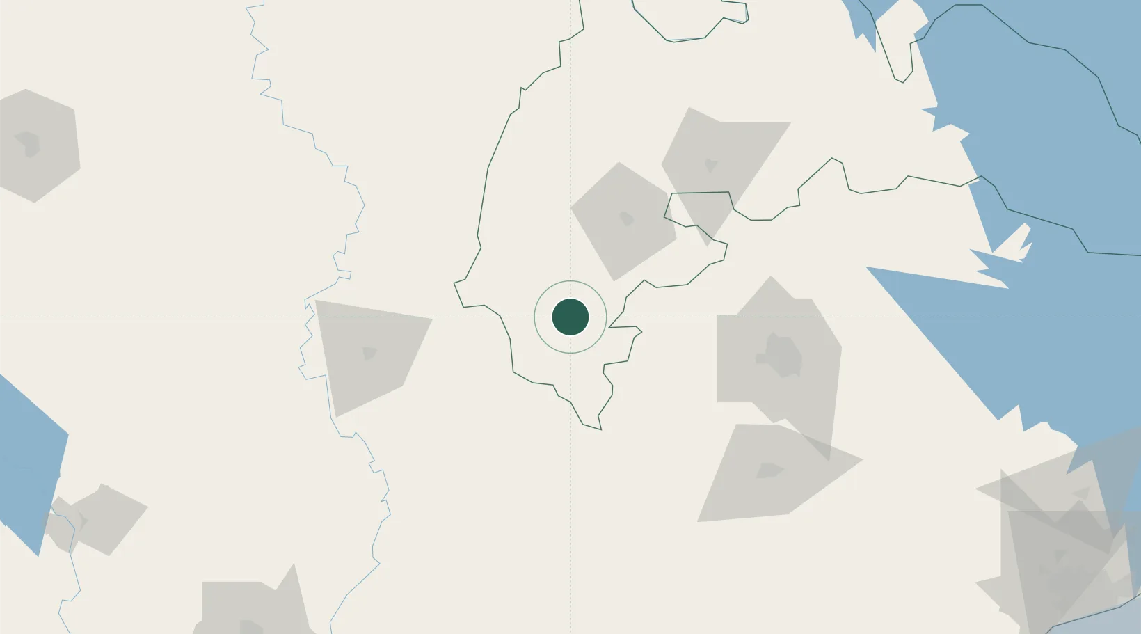
Hub Profile
Place type
Populated place
Region
Ahafo
Population
36,211
Time zone
Africa/Accra
Elevation
231 m
Location
Nearby Logistics Neighbours
Cities
- 1Obuasi126 km
- 2Ahinsan132 km
- 3Ijebu Ode151 km
- 4Agboville212 km
- 5Assinie-Mafia214 km
Ports
- 1Sekondi237 km
- 2Port Bouet242 km
- 3Takoradi242 km
- 4Abidjan244 km
- 5Saltpond253 km
Airports
- 1Sunyani Airport58 km
- 2Prempeh I International Airport110 km
- 3Félix-Houphouët-Boigny International Airport236 km
- 4Takoradi Airport239 km
- 5Bouaké Airport292 km
Trade Zones
- 1Ashanti Technology Park130 km
- 2Bonoua Industrial Park211 km
- 3Mahatma Ghandi Free Trade Zone228 km
- 4Koumassi Industrial Park236 km
- 5Shama Export Processing Zone236 km
DatabookThe Record of Consolidated Knowledge
Ghana beyond logistics?