Transport Functions
Port
Rail
Road
Hub Profile
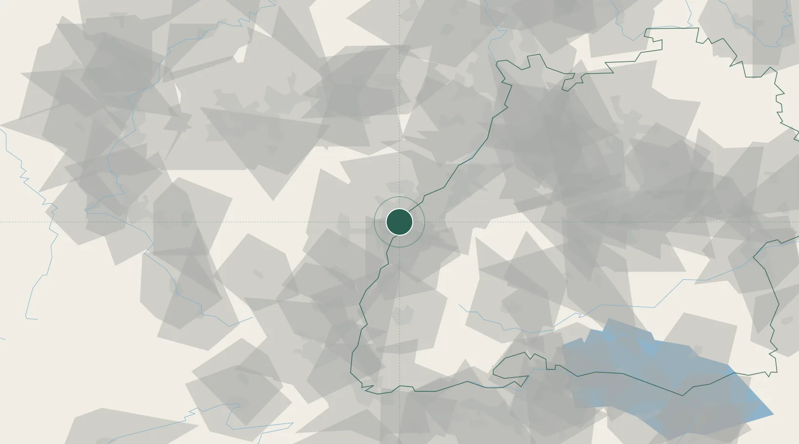
Place type
Populated place
Region
Baden-Wurttemberg
Population
34,009
Time zone
Europe/Berlin
Elevation
138 m
Logistics facilities
2
Location
Nearby Logistics Neighbours
Cities
- 1Port-du-Rhin/Strasbourg4 km
- 2Strasbourg5 km
- 3Cronenbourg5 km
- 4Bischheim5 km
- 5Diersheim8 km
Airports
- 1Strasbourg Airport15 km
- 2Lahr Airport25 km
- 3Karlsruhe Baden-Baden Airport28 km
- 4Phalsbourg-Bourscheid Air Base49 km
- 5Colmar Houssen airport64 km
Trade Zones
- 1ZFU Neuhof7 km
- 2ZFU Hautepierre9 km
- 3ZFU La Cité Behren-lès-Forbach91 km
- 4ZFU Mulhouse101 km
- 5ZFU Maxéville, Laxou, et de Nancy122 km
DatabookThe Record of Consolidated Knowledge
Germany beyond logistics?