Transport Functions
Port
Hub Profile
Place type
Populated place
Region
Kymenlaakso
Time zone
Europe/Helsinki
Elevation
3 m
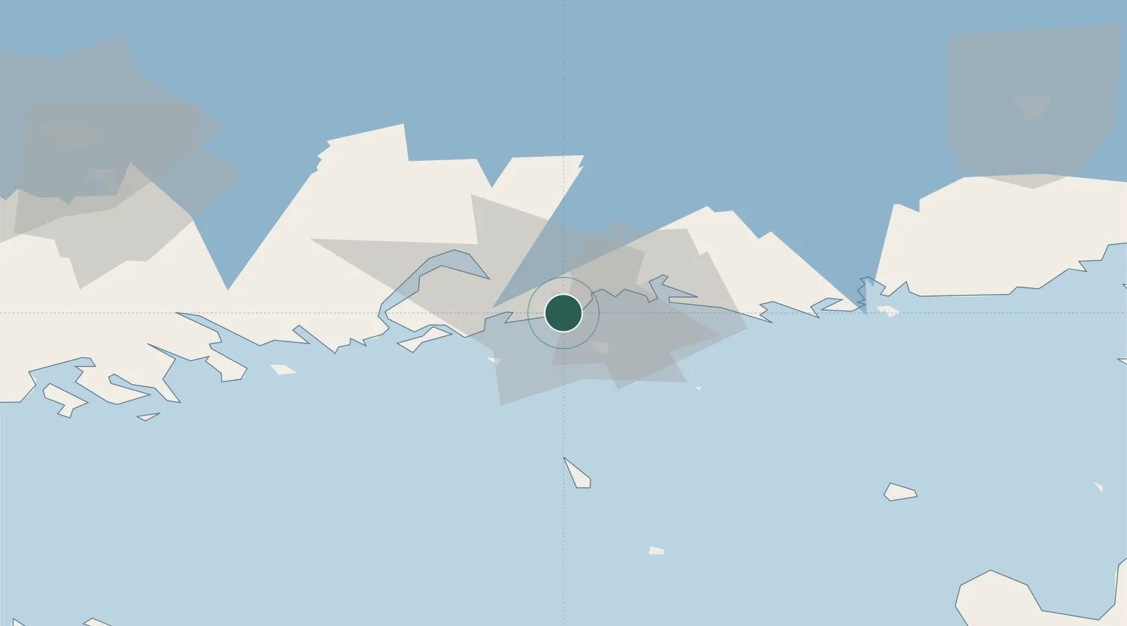
Location
Nearby Logistics Neighbours
Cities
- 1Kymenlaakso3 km
- 2Kotka6 km
- 3Summa11 km
- 4Siltakylä (Broby)11 km
- 5Lakulahti12 km
Ports
- 1Kotka2 km
- 2Hamina17 km
- 3Loviisa40 km
- 4Porvoo75 km
- 5Gavan Vysotsk90 km
Airports
- 1Helsinki East-Redstone Aerodrome20 km
- 2Utti Air Base46 km
- 3Lappeenranta Airport90 km
- 4Pribylovo Naval Air Base99 km
- 5Helsinki Vantaa Airport111 km
Trade Zones
DatabookThe Record of Consolidated Knowledge
Finland beyond logistics?