UN/LOCODE hub · Finland
FIKMS

Kymenlaakso

60.5000°, 27.0000°
1
Transport functions

Transport Functions

Multimodal
UN/LOCODE

Hub Profile

Region
09
GeoNames

Location

Location of FIKMS
Natural Earth 10m (public domain) · 09 · FIKMS · 60.50, 27.00GoogleOSMYandex

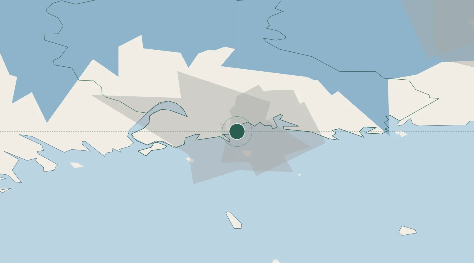
Nearby Logistics Neighbours

Cities
  1. 1Sunila3 km
  2. 2Summa7 km
  3. 3Kotka9 km
  4. 4Lakulahti9 km
  5. 5Poitsila11 km
Nearest neighbours — logibook spatial index (haversine) over the source coordinates
Ports
  1. 1Kotka4 km
  2. 2Hamina13 km
  3. 3Loviisa42 km
  4. 4Porvoo78 km
  5. 5Gavan Vysotsk87 km
Nearest neighbours — logibook spatial index (haversine) over the source coordinates
Airports
  1. 1Helsinki East-Redstone Aerodrome22 km
  2. 2Utti Air Base44 km
  3. 3Lappeenranta Airport87 km
  4. 4Pribylovo Naval Air Base96 km
  5. 5Helsinki Vantaa Airport114 km
Nearest neighbours — logibook spatial index (haversine) over the source coordinates
Trade Zones
  1. 1Port of Hamina-Kotka5 km
  2. 2Free Zone of Lappeenranta85 km
  3. 3Port of Sillamäe127 km
  4. 4Muuga Free Zone174 km
  5. 5St Petersburg Technology Innovative Special Economic Zone181 km
Nearest neighbours — logibook spatial index (haversine) over the source coordinates
DatabookThe Record of Consolidated Knowledge
Finland beyond logistics?
Browse databook

All Sources

LocationsUN/LOCODE
UN/LOCODE — free
Portsthe NGA World Port Index
Public domain (US gov)
AirportsOurAirports
Public domain
Trade Zonesthe World Bank SEZ database
CC BY 4.0
Trade ZonesOpen Zone Map
CC BY
← Finland locations