Transport Functions
Port
Road
Hub Profile
Place type
Populated place
Region
Kymenlaakso
Time zone
Europe/Helsinki
Elevation
20 m
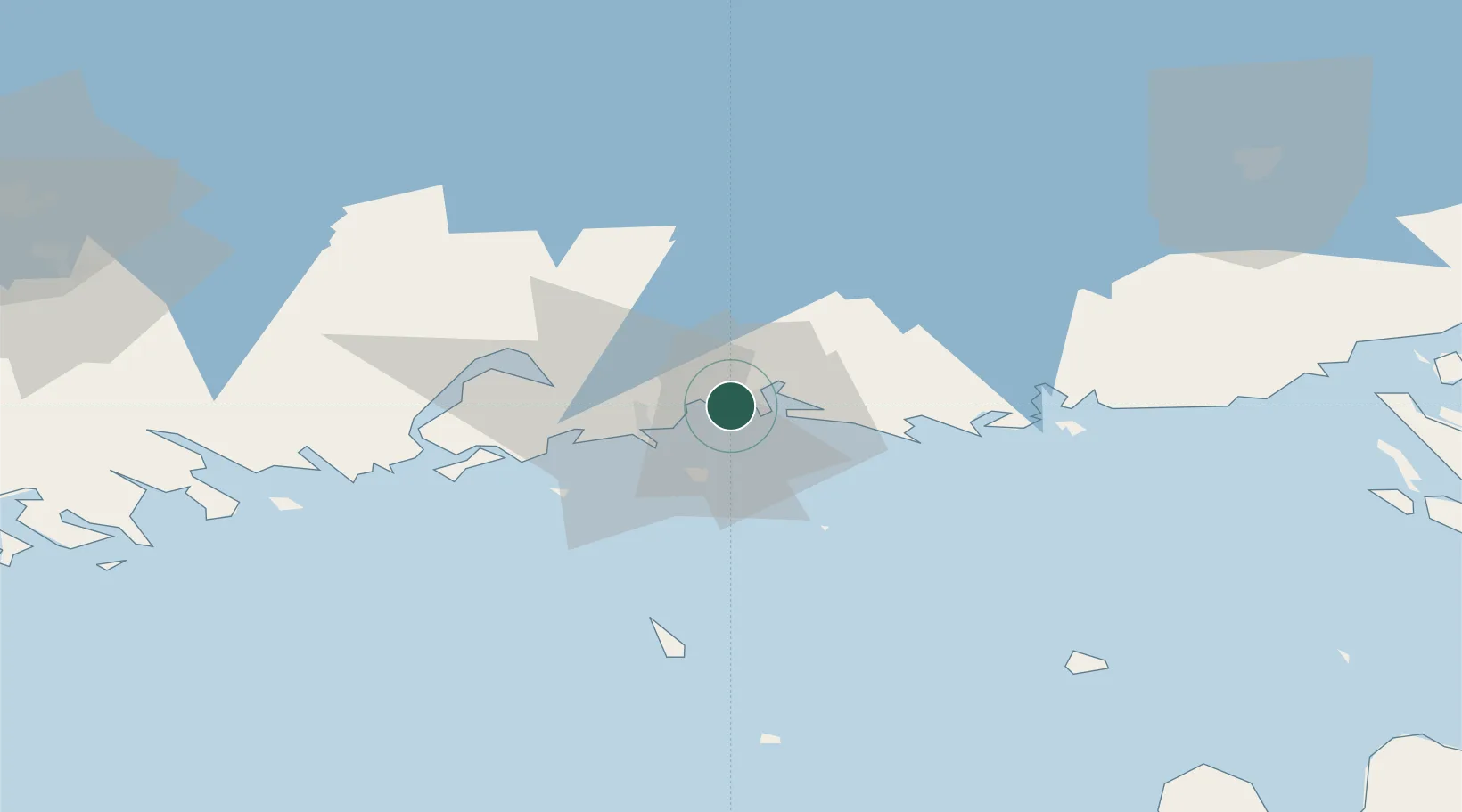
Location
Nearby Logistics Neighbours
Cities
- 1Poitsila3 km
- 2Lakulahti3 km
- 3Fredrikshamn (Hamina)6 km
- 4Kymenlaakso7 km
- 5Sunila11 km
Ports
- 1Hamina6 km
- 2Kotka11 km
- 3Loviisa49 km
- 4Gavan Vysotsk80 km
- 5Primorsk85 km
Airports
- 1Helsinki East-Redstone Aerodrome29 km
- 2Utti Air Base42 km
- 3Lappeenranta Airport80 km
- 4Pribylovo Naval Air Base90 km
- 5Helsinki Vantaa Airport121 km
Trade Zones
DatabookThe Record of Consolidated Knowledge
Finland beyond logistics?